What is recorded here
That is not a writing task. It is a claim about the exact place, the correct facts and the visible result. Show the correct facts, use the local name when it is clear and give you something that can be judged instead of repeating advice about the journal.
Roughly circular cashel KE034-030---- is one of a series of such settlements located along the lower W slopes of Brandon mountain.
(3) Between the circular hut and the enclosure wall to S, there is a sub-rectangular area, 4m long, defined to E and W by collapsed walling, to S by the cashel wall and to N by drystone walling, 2 courses high. This may be the remains of another hut.
The above description is derived from J. Cuppage, ‘Corca Dhuibhne. Dingle Peninsula archaeological survey. Ballyferriter. Oidhreacht Chorca Dhuibhne’ (1986), no. 537. In certain instances the entries have been revised and updated in the light of recent research.
Date of upload: 7 August 2013
The monument record does not grant public access. Check the route and ask the landowner before entering private land.
- What survives
- Recorded monument
Places near here
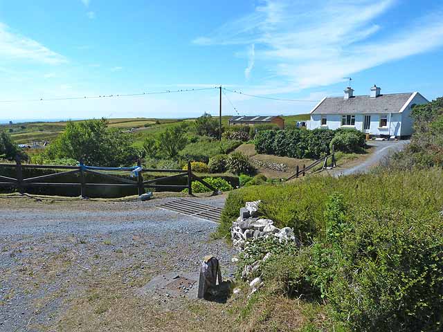 Hachured, Cloghaun, LisnagraigueFairy fort / earthen ringfort · 128 yd
 Hut site in Baile An Chnocáin (tc Cill Chuain)Hut site · 237 yd
 Brandon CreekViewpoint · 1201 yd
 IWayside cross · 1706 yd
 IVWayside cross · 1.2 mi
 Binn na mBanMountain / peak · 1.7 mi
 Moorestown CastleCastle · 1.9 mi
 Cnoc BréanainnMountain / peak · 1.9 mi
 Cúinne an MhionnáinHeadland · 2.5 mi
 World War II plane crash site: Engine of Focke-Wulf Fw 200 CondorHeritage attraction · 2.8 mi
 Tower (in ruins)Castle, unclassified · 3.3 mi
 Tearmann Dúlra Cnoc Bréanainn / Mount Brandon Nature ReserveNature reserve · 3.5 mi