What is recorded here
In rough bogland, c. 60m E of a mountain stream. Circular area (diam. c. 2.4m) defined by a drystone wall (H 0.85m). One of a complex of six possible hut sites (see KE046-039002-, KE046-039003-, KE046-039004-, KE046-039005-, KE046-039007-).
Compiled by: Matt Kelleher
Date of upload: 18 February 2013
The monument record does not grant public access. Check the route and ask the landowner before entering private land.
- What survives
- Recorded monument
Places near here
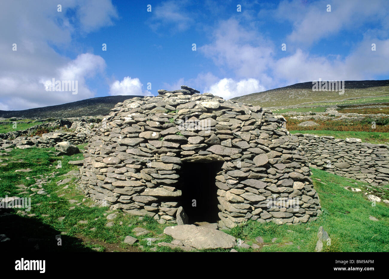 Hut site in AughilsHut site · 65 yd
 Habitation site in LackHabitation site · 410 yd
 Lack MountainMountain / peak · 969 yd
 CaherblaMountain / peak · 1072 yd
 KilnKiln, corn-drying · 1.9 mi
 Church in LackChurch · 2.1 mi
 CastleCastle, unclassified · 2.4 mi
 Faisr's GraveArchaeological place · 2.7 mi
 Cromane PointHeadland · 2.9 mi
 Site of Camp CastleCastle, unclassified · 3.0 mi
 Graveyard in Baile An Chnocáin (tc An Cnoc Glas)Graveyard · 3.9 mi
 Cromane BeachBeach / strand · 4.7 mi