What is recorded here
An Gabhlán Thoir holds a disturbed ringfort where two huts abut the southern bank, the western chamber measuring four metres across and the eastern reaching eight. Their conjoined outlines survive beneath confusion, while two unexplained mounds stretch north like forgotten suggestions. The site resists clean description, preserving instead the messy truth that human hands shaped, abandoned and half-erased the land.
The remains of univallate ringfort KE044-086---- are considerably disturbed and confused.
The outlines of a pair of circular, conjoined huts (KE044-086001- KE044-086002-) can be traced directly inside and abutting the S bank. The W hut measures c. 4m in diameter internally and is enclosed by a low stony bank c. 0.6m high and 2m wide. The outline of the E hut is less clear but it appears to be about 8m in overall diameter. Two parallel mounds extend N from these huts but their origin is not clear.
The above description is derived from J. Cuppage, ‘Corca Dhuibhne. Dingle Peninsula archaeological survey. Ballyferriter. Oidhreacht Chorca Dhuibhne’ (1986), no. 453. In certain instances the entries have been revised and updated in the light of recent research.
Date of upload: 7 August 2013
The monument record does not grant public access. Check the route and ask the landowner before entering private land.
- What survives
- Recorded monument
Places near here
 Fairy fort / stone ringfort in An Gabhlán ArdFairy fort / stone ringfort · 296 yd
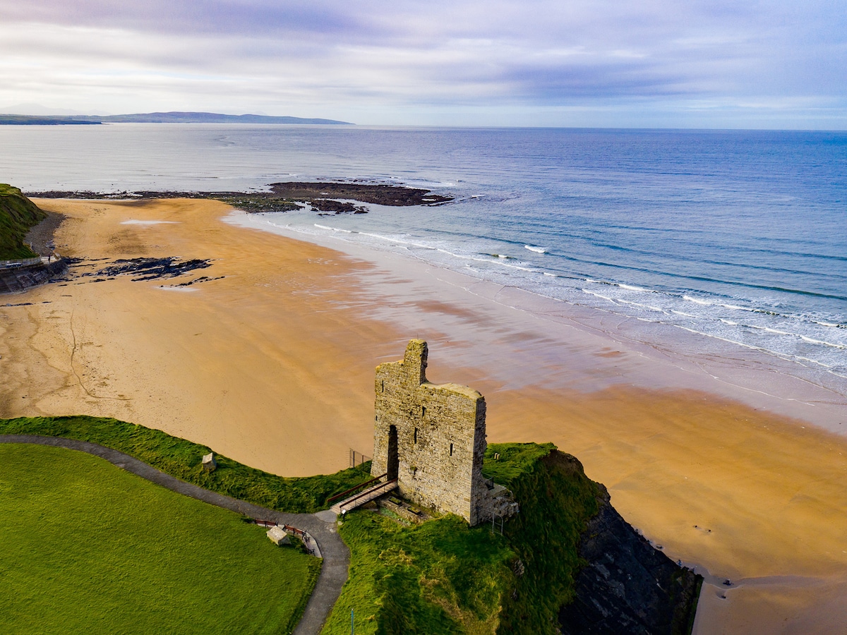 Man-made underground passage in An Gabhlán ThoirMan-made underground passage · 433 yd
 Séipéal Eoin Baiste [Catholic Church of Saint John the Baptist]church/chapel · 1696 yd
 Lispole Viaductbridge · 1745 yd
 Lispole Ambush MonumentWayside cross · 1.0 mi
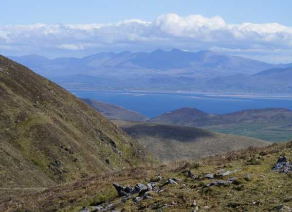 An Cnapán MórMountain / peak · 1.8 mi
 Cruach SceirdeMountain / peak · 1.9 mi
 Caisleán na Mine AirdeCastle · 2.2 mi
 Minard Castle (in ruins)Castle, tower house · 2.2 mi
 Tobar EoinSpring · 2.2 mi
 Acres PointHeadland · 2.8 mi
 Graveyard in BallynacourtyGraveyard · 2.9 mi