What is recorded here
National Monument No. 380. Hut (KE098-029003-): Incorporated into the enclosing element at SE are the poorly preserved remains of a substantial circular hut, 4.6m in internal diameter. Its walls are of corbelled dry-stone construction and measure 2.1m wide and up to .7m high externally. An entrance gap occurs at ESE. The interior of the structure is filled with stone collapse and its N half has been modified for use as a lamb shelter. A slab with a small depression on one surface lies within the hut. It may have served as a heel-stone for a door-post.
The above description is derived from A. O'Sullivan and J. Sheehan (compilers), 'The Iveragh peninsula: an archaeological survey of South Kerry'. Cork University Press (1996), no. 931. In certain instances the entries have been revised and updated in the light of recent research.
Date of upload: 30 July 2013
The monument record does not grant public access. Check the route and ask the landowner before entering private land.
- What survives
- Recorded monument
Places near here
 Cross in An Bhinn Bhán (uíbh Ráthach)Cross · 28 yd
 IndicatedHut site · 106 yd
 Iveragh Lodgehunting/fishing lodge · 1240 yd
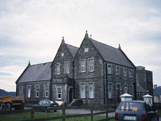 The Cable Stationcoastguard station · 1247 yd
 Butler MemorialMemorial · 1272 yd
 T. C. Millerick MemorialMemorial · 1392 yd
 Waterville PromenadeWalking route · 1484 yd
 CastleCastle, tower house · 1754 yd
 Inny StrandBeach / strand · 2.0 mi
 An Bheann MhórMountain / peak · 2.5 mi
 An PlaoscHeadland · 2.8 mi
 Reenrow BeachBeach / strand · 2.8 mi