What is recorded here
Yes. That much is clear. Whether you want it back in the same setting is the new choice you are making. I can follow that distinction.
A circular area (DG017-022001-) enclosed by a collapsed stone wall, up to .5m in height on the W side. The E side has been partially quarried away and in places survives only as a line of stones. On the W side adjoining, the cashel wall is a circular collapsed stone foundation c. 5m in diameter but it is not certain that this is an original feature of the site. The rest of the interior is level but is over-grown. The site is located on a prominent rise with agricultural land around its base.
The above description was derived from the 'Archaeological Survey of County Donegal. A description of the field antiquities of the County from the Mesolithic Period to the 17th century.' Compiled by: Brian Lacey with Eamon Cody, Claire Cotter, Judy Cuppage, Noel Dunne, Vincent Hurley, Celie O'Rahilly, Paul Walsh and Seán Ó Nualláin (Lifford: Donegal County Council, 1983). In certain instances the entries have been revised and updated.
Date of upload: 22 September 2008
The monument record does not grant public access. Check the route and ask the landowner before entering private land.
- What survives
- Recorded monument
Places near here
 Aghalatty Stone RingfortFairy fort / stone ringfort · 22 yd
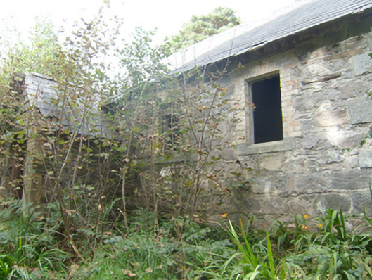 Manor Vaughan National Schoolschool · 341 yd
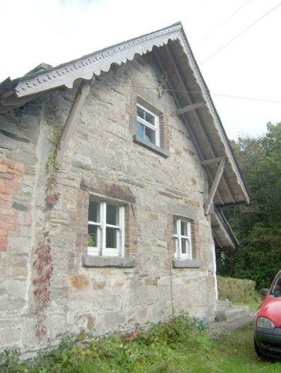 Manor Vaughan Schoolmaster's Houseworker's house, school master's house, house · 383 yd
 Font in Carraig AirtFont · 1.2 mi
 Moross CastleCastle, tower house · 2.3 mi
 Àn Trá MorBeach / strand · 3.1 mi
 DowningsOfficial bathing water · 3.4 mi
 Cranberry IslandIslet · 3.9 mi
 Monterey PineMonterey Pine · 4.1 mi
 Monterey CypressMonterey Cypress · 4.1 mi
 Ards Friary Coastal LoopOfficial walking route · 4.2 mi
 Cliffs at Lamb's IslandPublicly named cliff or headland · 4.4 mi