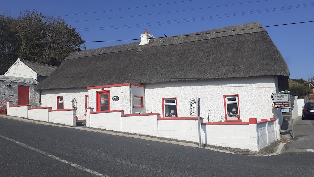
What is recorded here
Situated towards the top of a S-facing slope. First identified in archaeological testing (02E0275) in advance of the N25 Waterford City by-pass (Russell (2006f), and fully excavated ((03E1217) as structures 1 and 3, which are part of Adamstown 3 (Russell 2006g).
This is a complex but confined area (diam. c. 10m) with numerous post-holes, segments of a slot trench S-W (C c. 4m) and two hearths representing two huts at this location. It may have had a porch entrance at SE. One post-hole was packed with a fragment of a saddle-quern, and the fill of another post-hole produced a C14 date of cal BC 1700-1430 (Russell 2003). Hut-site (WA017-123002-) is c. 5m to the NE and hut-site (WA017-123003-) is c. 12m to the NW. (Russell and Ginn 2009a, 8-12; 2011b)
Russell, I. (2006f) Site 3, Adamstown/Knockanagh. Testing. in I. Bennett (Ed.) Excavations 2003: summary accounts of excavations in Ireland, 489-90, No. 1851. Wordwell. Bray.
Russell, I. (2006g) Site 3, Adamstown. Prehistoric houses. in I. Bennett (Ed.) Excavations 2003: summary accounts of excavations in Ireland, 491, No. 1854. Wordwell. Bray.
Russell, I. and Ginn (2009a) N25 Waterford By-pass. Contract 1. Final report on the archaeological excavation of Adamstown 3. Unpublished report. DOEHG. Archaeological Consultancy Services.
Russell, I. and V. Ginn (2011b) Adamstonwn 3, Co. Waterford. in J. Eogan and E. Shee-Twohig (2011) Cois tSiúire – nine thousand years of human activity in the lower Suir valley. Archaeological excavations on the N25 Waterford city bypass, vol. 1, 30-7. NRA road scheme: Monograph 8, Dublin
Compiled by: Michael Moore
Date of upload: 13 May 2011
The monument record does not grant public access. Check the route and ask the landowner before entering private land.
- What survives
- Recorded monument
Places near here
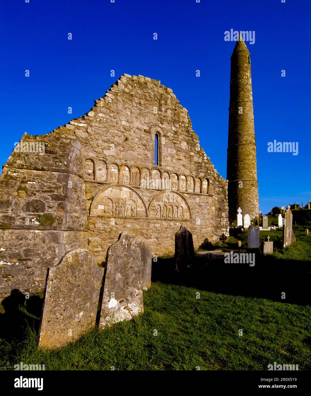 Kiln in Adamstown (middlethird By., Kilmeadan Par.)Kiln · 291 yd
 Enclosure in Adamstown (middlethird By., Kilmeadan Par.)Enclosure · 406 yd
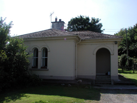 Whitfield Housegate lodge · 625 yd
 Sweet micheliaSweet michelia · 784 yd
 Monterey CypressMonterey Cypress · 821 yd
 Site of CastleCastle, unclassified · 1128 yd
 Mount Congreve GardensHeritage attraction · 1160 yd
 St. Martins WellHoly well · 1171 yd
 CastleCastle, unclassified · 1621 yd
 Waterford & Suir Valley RailwayHeritage attraction · 1.2 mi
 Ballyscanlon HillMountain / peak · 4.7 mi
 Donnell's HillMountain / peak · 5.1 mi
Other information
Photo: Credit not shown in the picture search · Rights wording not checked; contact us if this picture should be removed