What is recorded here
Ferniehirst Bridge carries Newcastle Road across the border country, a twentieth-century span built for wheels rather than ceremony. It is the kind of bridge people stop noticing because it keeps working, connecting fields, houses and memory without asking to be remembered. Under its deck, water still moves; above it, lives still pass.
Scotland's National Record of the Historic Environment records Hundalee, Newcastle Road, Ferniehirst Bridge as Bridge (20th Century). The official map says its point is accurate as follows: NGR given to the nearest 1m. The record does not by itself mean that the public may enter the place.
The historic-place record does not grant public access. Check current conditions and ownership before entering land or a building.
Places near here
 LinthaughCottage (19th Century) · 182 yd
 King of the WoodTree (medieval) · 524 yd
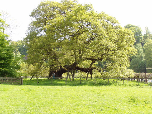 Capon TreeSessile Oak · 613 yd
 Ferniehurst CastleCastle (medieval), Chapel (17th Century), Garden Wall(s) (17th Century), Gateway (17th Century) · 684 yd
 Ferniehirst CastleCastle · 689 yd
 Hundalee BridgeRoad Bridge (period Unassigned) · 703 yd
 Sunnybraescaur PlantationForest · 723 yd
 Little DeanSettlement (period Unassigned) · 1474 yd
 Jedburgh AbbeyBoundary Wall (period Unassigned) · 1.2 mi
 Jedburgh War MemorialMemorial · 1.3 mi
 Jedburgh, Exchange StreetNo Class (event) (period Unassigned) · 1.3 mi
 Jubilee FountainMemorial · 1.4 mi