What is recorded here
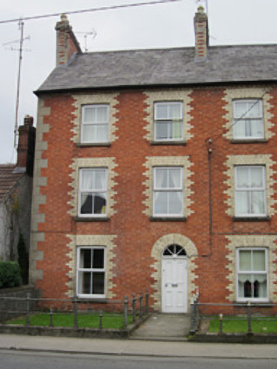
End-of-terrace three-bay three-storey house, built c.1880, with single-bay two-storey return to rear. Pitched natural slate roof with polychromatic chimneystack with stepped cornice and polygonal terracotta pots, cast-iron rainwater goods, and yellow brick cogging eaves course. Red brick walling to front elevation, laid in Flemish bond, with ashlar sandstone block-and-start quoins and chamfered sandstone plinth. Yellow brick block-and-start surrounds to openings. Smooth rendered walls to rear elevations. Square-headed window openings with replacement uPVC windows, and sandstone sills. Round-arched door opening with timber panelled door having spoked timber fanlight, and sandstone threshold. Set back from street with garden to front with boundary demarcation comprising saddle-back stone plinth surmounted by railings of cast and wrought iron. Terrace of two-storey outbuildings to rear having pitched natural slate roof, smooth rendered random rubble walls, and square-headed openings. House constitutes one of a terrace of four largely identical houses.
This fine urban row house is part of an impressive terrace of red brick dwellings that constitutes a very good example of the type of housing built beyond the immediate centre of Victorian towns around the turn of the nineteenth century. The use of polychromatic brickwork adds a degree of contrast and artistic embellishment to a building built for practicality and to alleviate the overcrowding of town centres during this period. The small front garden, with good cast-iron railings, provides a pleasant setting.
This does not grant access. Most recorded buildings are privately owned; view them only from public ground unless the owner allows entry.
Places near here
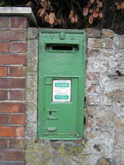 post boxpost box · 47 yd
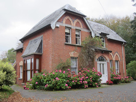 The Beecheshouse · 108 yd
 Monaghan County MuseumMuseum · 443 yd
 Town defences in Roosky (monaghan By., Monaghan Par.)Town defences · 787 yd
 Rossmore MonumentMemorial · 841 yd
 Burial in MullaghmonaghanBurial · 857 yd
 Bawn in Roosky (monaghan By., Monaghan Par.)Bawn · 922 yd
 European ashEuropean ash · 1467 yd
 Cortolvin ForestWood · 1.3 mi
 The BarnHeritage attraction · 2.1 mi
 Castleshane WaterfallWaterfall · 3.7 mi
 Rough HillMountain / peak · 4.1 mi
Other information
Photo: National Inventory of Architectural Heritage · Website use allowed for educational or private purposes with source credit