What is recorded here
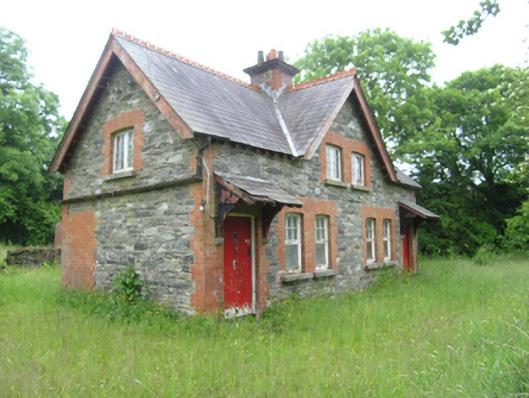
Pair of Victorian semi-detached three-bay two-storey houses, built c.1890, sharing common central gable with entrances in the outer bays, and recent single-storey extension to rear. Currently disused. Pitched slate roof with plain bargeboards, crested clay ridge tiles, central brick chimneystack with decorative brick cornice, and exposed rafters at eaves, and bargeboards at gables, with remains of cast-iron rainwater goods. Lean-to slate roof above porches resting on timber brackets on stone corbels. Random rubble stone walls with brick dressings to openings and quoins. Paired windows openings on front elevation, single windows in gables, and smaller windows on rear elevation, all with stone sills. Timber casement windows with eight-pane lights to upper floor and six-over-one to ground floor. Timber sheeted doors to front and rear elevations. Shared outbuilding to east with pitched slate roof, and rubble-stone walls with brick dressing to openings and corners. Remains of rubble stone walls to rear.
A finely detailed pair of semi-detached stone and brick houses located to the west of a corrugated-iron parochial hall. The houses and hall share the same site, the access lane passing west of the hall and terminating at the houses, suggesting a functional association. Designed in the manner of late nineteenth-century gate lodges or estate cottages, the houses retain their original picturesque form and many historic features and materials. The centralised stack with decorative cornice, multiple paned casement windows, and bracketed porches add a sense of late Victorian style and sensibility. They add considerable to the architectural character of the area and make an interesting ensemble with the parochial hall.
This does not grant access. Most recorded buildings are privately owned; view them only from public ground unless the owner allows entry.
Places near here
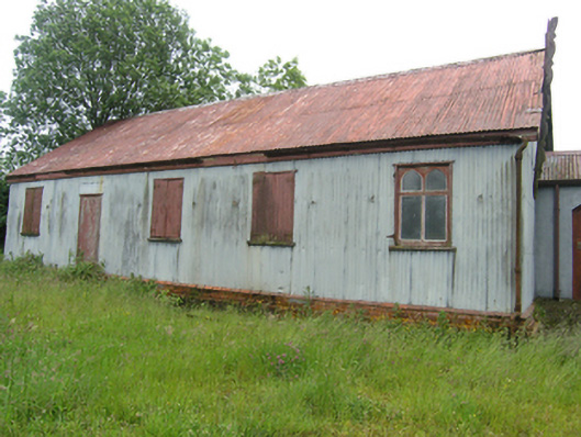 Tonaghbane Parochial Hallchurch hall/parish hall · 75 yd
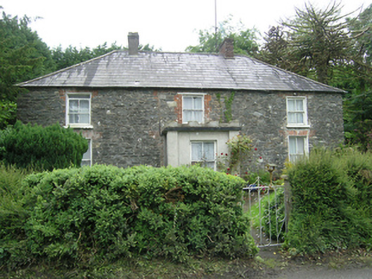 Mountain Viewhouse · 224 yd
 Whitelough PlantationsForest · 807 yd
 Church WoodForest · 857 yd
 Drummury FortArchaeological place · 962 yd
 Brown's HillMountain / peak · 1157 yd
 CorickMountain / peak · 1504 yd
 Bawn in DrumsheilBawn · 1.0 mi
 Fastry fortFairy fort / earthen ringfort · 1.0 mi
 Site of Old CastleCastle, unclassified · 1.6 mi
 Giant's GraveArchaeological place · 3.0 mi
 Graveyard in Drumgoon (clankee By.)Graveyard · 4.4 mi
Other information
Photo: National Inventory of Architectural Heritage · Website use allowed for educational or private purposes with source credit