What is recorded here
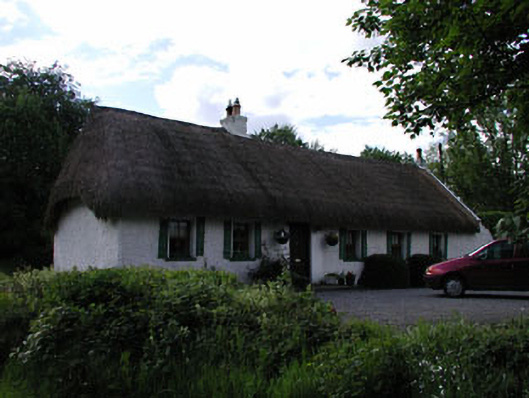
Detached six-bay single-storey lobby entry thatched house, extant 1837, on a T-shaped plan originally five-bay single-storey on a rectangular plan; single-bay (single-bay deep) single-storey central return (west). Occupied, 1901; 1911. Sold, 1958. Renovated, ----. Hipped and pitched oat straw thatch roof, rope twist ridge with exposed stretchers having exposed scallops, roughcast chimney stack having capping supporting terracotta tapered pots, and blind stretchers to eaves having blind scallops; pitched corrugated-iron roof (west) with pressed iron ridge, concrete coping to gables including concrete coping to gable (west) with grey brick Running bond chimney stack to apex having concrete capping, and cast-iron rainwater goods on roughcast eaves. Roughcast battered walls. Square-headed door opening with concrete threshold, and concealed dressings framing replacement glazed timber panelled door. Square-headed window openings with timber sills, and concealed dressings framing replacement timber casement windows. Square-headed window openings to rear (west) elevation with concealed dressings framing six-over-three timber sash (north) or timber casement (south) windows. Set perpendicular to road with rendered piers to perimeter having pyramidal capping.
A house identified as an important component of the vernacular heritage of County Kildare by such attributes as the alignment perpendicular to the road; the lobby entry plan form with the ghostly outline of a characteristic windbreak; the construction in unrefined local materials displaying a feint battered silhouette with sections of "daub" or mud suggested by entries in the "House and Building Return" Forms of the National Census (NA 1901; NA 1911); the somewhat disproportionate bias of solid to void in the massing; and the high pitched roof showing an oat straw thatch finish. NOTE: Occupied by a succession of tenants of George Bryan (----) including Catherine McCabe (----); Patrick Domican (----), 'Farmer' (NA 1901); and Patrick Domican (1876-1940), 'Assistant County Surveyor [and] Farmer' (NA 1911); and subsequently sold (1958) to Edward Morrin (1913-81).
This does not grant access. Most recorded buildings are privately owned; view them only from public ground unless the owner allows entry.
Places near here
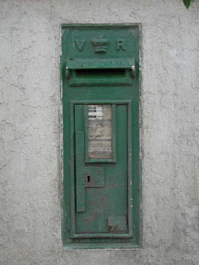 post boxpost box · 21 yd
 Enclosure in Moortown (ladytown Ed)Enclosure · 494 yd
 Enclosure in YeomanstownEnclosure · 691 yd
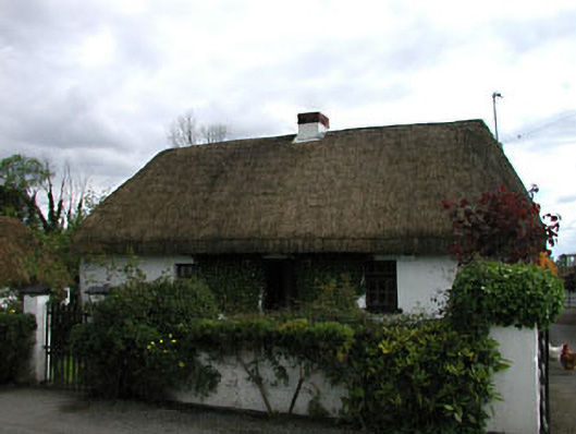 farm housefarm house · 716 yd
 European Crab AppleEuropean Crab Apple · 1.9 mi
 Castle RagCastle, tower house · 2.6 mi
 Sarsfield Castle (Site of)Castle, unclassified · 2.9 mi
 Newbridge SilverwareMuseum · 3.8 mi
 Monread District Park WoodsWood · 3.8 mi
 Grand Canal WayVisitor information · 4.4 mi
 Hill of AllenMountain / peak · 5.0 mi
 Councillor Jim MileyMemorial · 9.4 mi
Other information
Photo: National Inventory of Architectural Heritage · Website use allowed for educational or private purposes with source credit