What is recorded here
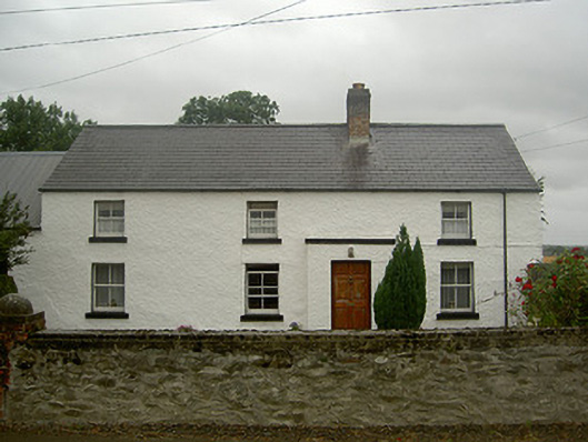
Detached four-bay two-storey house, built c. 1800. Rectangular-plan, porch to south, lean-to and flat-roofed extensions to north. Pitched slate roof, clay ridge tiles, roughcast-rendered corbelled chimneystack, smooth rendered cap, cast-iron gutters to overhanging eaves. Lime-washed walling to south, roughcast-rendered to east, random coursed stone walling to north. Square-headed window openings, painted stone sills, painted timber two-over-two sliding sash windows, three-over-three timber sliding sash window to north, timber casement window to extension. Square-headed door opening, painted six-panelled timber door. Set back from road; outbuilding attached to west, pitched corrugated-iron roof, lime-washed walling, square-headed window openings, painted vertically-sheeted timber door; detached outbuilding to north-west, pitched corrugated-iron roof, random rubble stone walling, square-headed openings, painted vertically-sheeted timber doors, red brick to openings; site bounded to south by random coursed stone wall, red brick square gate piers, tooled limestone caps with semi-circular finials, lane to west leading to north.
Situated to the roadside, this simple house with its associated outbuildings, is a charming example of a vernacular dwelling. Its modest, proportioned style attests to the technical adeptness of its builders and it has retained much of its original character to remain an integral part of the rural landscape around Termonfeckin.
This does not grant access. Most recorded buildings are privately owned; view them only from public ground unless the owner allows entry.
Places near here
 Enclosure in TermonfeckinEnclosure · 367 yd
 Castle (Site of)Castle, tower house · 517 yd
 Ecclesiastical site in TermonfeckinEcclesiastical site · 532 yd
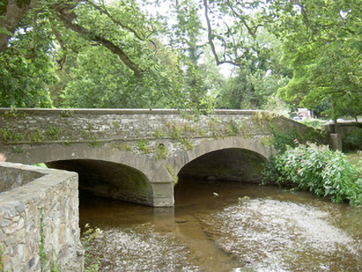 bridgebridge · 564 yd
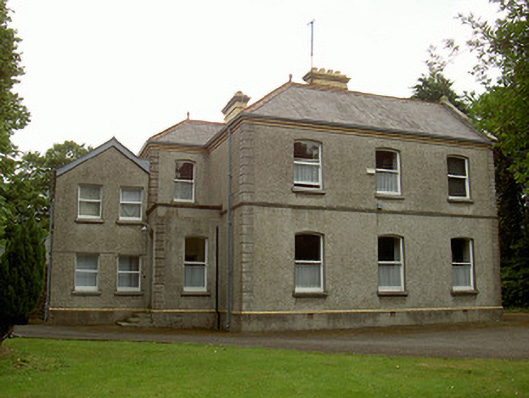 Catholic Church of the Immaculate Conceptionpresbytery/parochial/curate's house · 565 yd
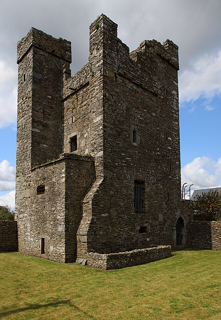 CastleCastle, tower house · 938 yd
 Beaulieu House and GardensHeritage attraction · 2.3 mi
 Newgrange Business ParkMemorial · 5.5 mi
 Yellow IslandIslet · 5.6 mi
 MonasterboiceEarly monastic site · 5.7 mi
 Grove IslandIslet · 5.9 mi
 BarabonaMountain / peak · 6.6 mi
Other information
Photo: National Inventory of Architectural Heritage · Website use allowed for educational or private purposes with source credit