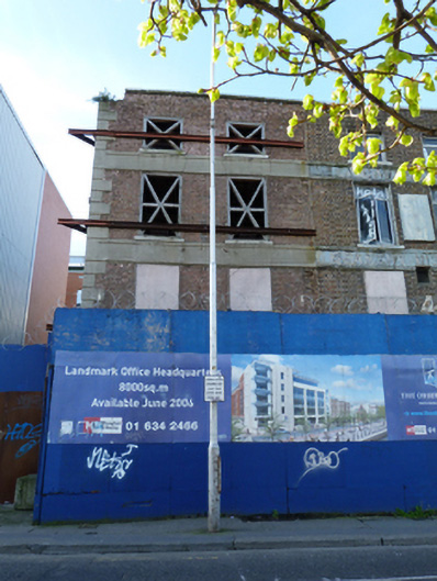
What is recorded here
Terraced two-bay four-storey former house, built c.1830. Now disused. Pitched artificial slate roof to north span with flat roof to south span, hidden behind brick parapet having granite coping, rendered chimneystacks with clay pots. Brown brick walls, laid in Flemish bond, with render quoins to east end and rendered platbands to first and second floors. Square-headed window openings having raised render reveals and granite sills. Located on south side of Sir John Rogerson’s Quay.
Once part of a larger group of late Georgian merchant houses, now only this and the neighbouring building to the east survive. While much of the early fabric has been lost, the building retains its traditional form and character. The render façade details add tonal and textural variation to the brick walls. The building is a reminder of the mercantile character of the waterfront along Sir John Rogerson’s Quay, laid out in the early eighteenth century. John Rogerson, a city council member and Lord Mayor of Dublin, owned land in the area from 1713. By the late 1720 the quay wall extended from Creighton Street to Lime Street and is depicted on Brooking’s map of 1728, showing gable-fronted buildings lining the quay. Rocque’s map of 1756 depicts a number of small buildings and undeveloped plots occupied by timber and store yards. Following the development of the Grand Canal Docks the area was characterised by mixed domestic and commercial buildings and warehousing.
This does not grant access. Most recorded buildings are privately owned; view them only from public ground unless the owner allows entry.
Places near here
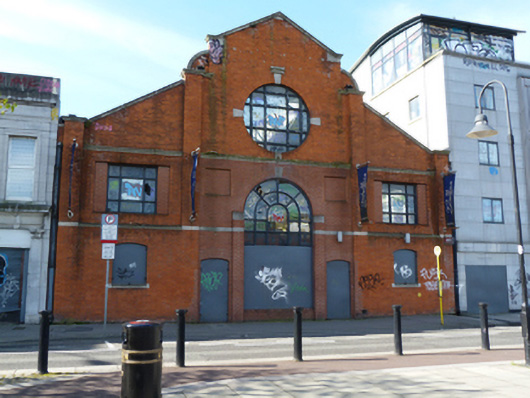 Bushell Ltd. Furniturestore/warehouse · 26 yd
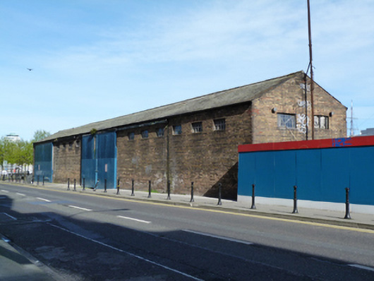 store/warehousestore/warehouse · 47 yd
 Jeanie JohnstonMuseum · 167 yd
 Elizabeth O'Farrell ParkMemorial · 180 yd
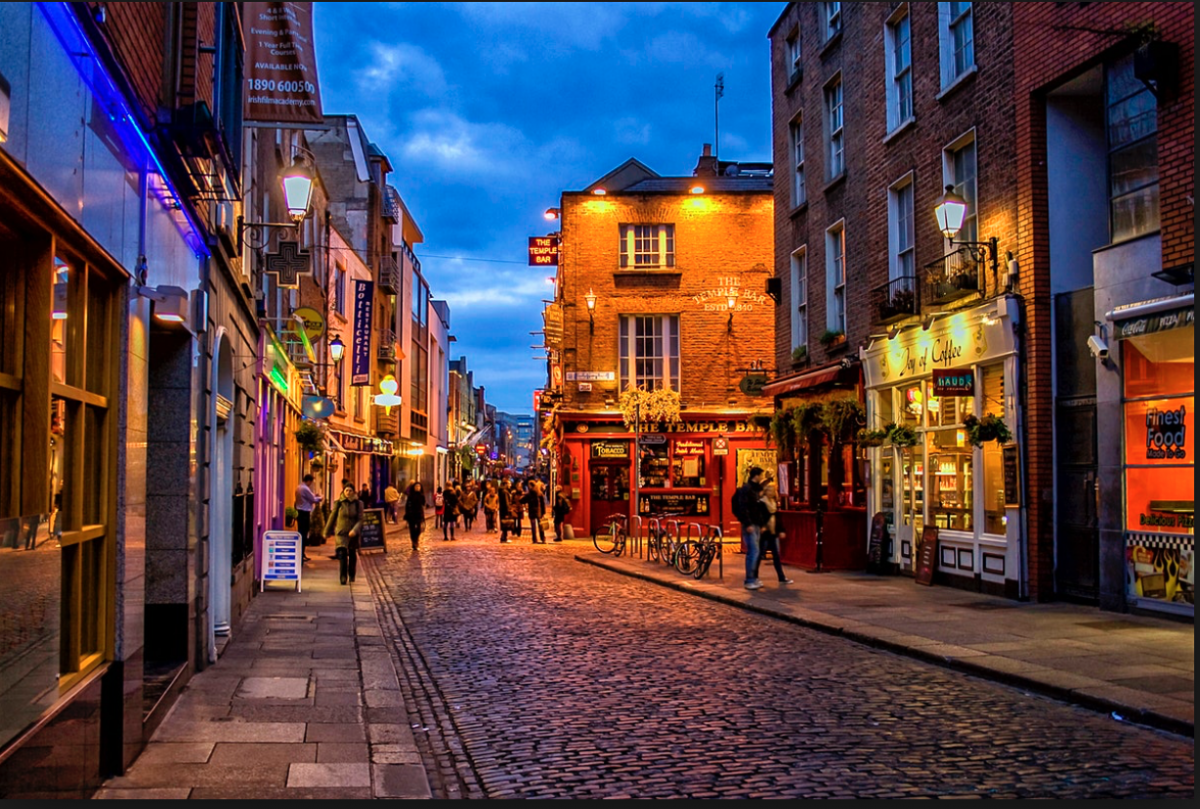 Quay in Unknown TownlandQuay · 267 yd
 EPIC The Irish Emigration MuseumMuseum · 283 yd
 17 October UN International Day for the Eradication of PovertyMonument · 337 yd
 Famine MemorialMemorial · 378 yd
 Samuel Beckett BridgeVisitor information · 397 yd
 Burning of the Custom Housearmed conflict · 600 yd
 ConciergeVisitor information · 693 yd
 Oriental planeOriental plane · 733 yd
Other information
Photo: National Inventory of Architectural Heritage · Website use allowed for educational or private purposes with source credit