What is recorded here
The Down Survey (1655-6) barony map of Shillelogher (Hibernia Regnum, courtesy of Trinity College Dublin), depicts a large house with three chimneys in the S portion of the 17th-century townland of Tullomayne. This location appears to correspond with area where the modern townlands of Tullamaine (Ashbrook) and Tullamaine (Flood) meet. The precise location of the house within this area is unknown.
See attached:
KK026-024----_01 extract from Down Survey (1655-6) barony map of Shillelogher (Hib. Reg., courtesy of Trinity College Dublin)
Compiled by: Jean Farrelly
Date of upload: 11 May 2022
The monument record does not grant public access. Check the route and ask the landowner before entering private land.
- What survives
- Recorded monument
Places near here
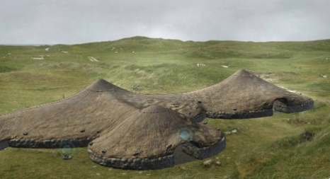 Enclosure in Pollagh (kells By., Callan Rural Ed)Enclosure · 1 yd
 ToberbrideHoly well · 954 yd
 Callan Union Workhouseworkhouse · 1031 yd
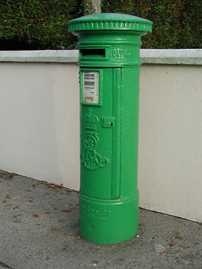 post boxpost box · 1088 yd
 Green StreetVisitor information · 1316 yd
 Edmund Rice MemorialMemorial · 1334 yd
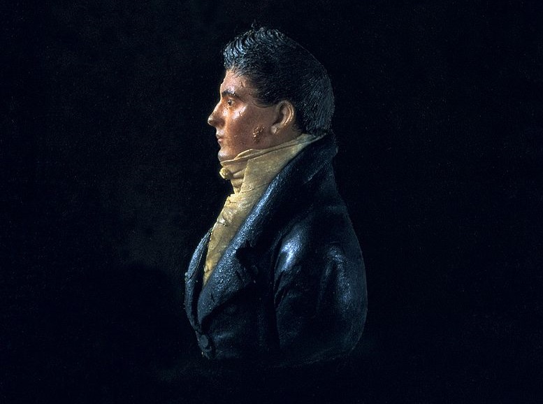 James Hoban MonumentMemorial · 1421 yd
 Stop 4: Callan Town HallVisitor information · 1497 yd
 CastleCastle, tower house · 1614 yd
 West CourtCastle, unclassified · 1.1 mi
 Edmund Rice Heritage CentreMuseum · 1.3 mi
 Mill IslandIslet · 1.4 mi