What is recorded here
The Down Survey (1655-6) terrier accompanying the parish map of Tubrid describes, 'some thatch houses in Tuberid' and lists Robert Shortall Irish Papist as the proprietor in 1640 (Hibernia Regnum, courtesy of Trinity College Dublin). The precise location of these houses within Tubbrid Upper townland is unknown.
Compiled by: Jean Farrelly
Date of upload: 28 April 2020
The monument record does not grant public access. Check the route and ask the landowner before entering private land.
- What survives
- Recorded monument
Places near here
 Enclosure in Tubbrid UpperEnclosure · 394 yd
 Tubbrid Upper RingfortArchaeological place · 518 yd
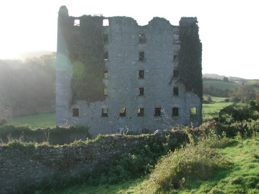
 Tubbrid Castle (in ruins)Castle, tower house · 682 yd
 Church (in Ruins)Church · 806 yd
 Clomantagh Millsmill (water) · 1742 yd
 Kildrinagh WoodForest · 1.3 mi
 CastleCastle, ringwork · 1.4 mi
 The CopseWood · 2.4 mi
 Clomantagh HillMountain / peak · 2.7 mi
 John HelyMemorial · 4.4 mi
 DelaneyMemorial · 4.5 mi
 Bregaun HillMountain / peak · 6.3 mi