What is recorded here
In flat grassland fields on the floor of the Nuenna river valley. House depicted on Down Survey (1655-6) parish map of Freshford (Hibernia Regnum, courtesy of Trinity College Dublin), W of Freshford and S of the Nuenna River which would appear to be in Tobernapeastia townland. The precise location of this house is unknown.
See attached extract from Down Survey (1655-6) parish map of Freshford (Hib. Reg., courtesy of Trinity College Dublin)
Compiled by: Jean Farrelly
Date of upload: 31 March 2020
The monument record does not grant public access. Check the route and ask the landowner before entering private land.
- What survives
- Recorded monument
Places near here
 CrossCross, Wayside cross · 449 yd
 Ballylarkin Lower RingfortArchaeological place · 508 yd
 The PondsForest · 538 yd
 Freshford LoopWalking route · 789 yd
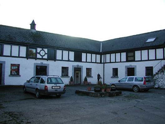 Uppercourt Housestables · 834 yd
 Upper CourtCastle, unclassified · 849 yd
 The Odeoncinema · 854 yd
 Emma Jane Browne-ClaytonMemorial · 1095 yd
 Red horse-chestnutRed horse-chestnut · 1096 yd
 CastleCastle, motte · 1552 yd
 Clomantagh HillMountain / peak · 4.0 mi
 Anker's IslandIsland · 6.0 mi