What is recorded here
Two cabins are marked on the Down Survey parish map (1656-8) of Carne at Ring (8). The precise location of this house is not known. According to the Book of Survey and Distribution (1660s) John Stafford owned 73 acres at Ring in 1640 (Simington 1953, 305). It was the only land he held in Carne, but John Stafford is probably from Ballyconor castle (WX048-033001-). For the Down Survey parish map see this web-page accessed on 20 February, 2014: http://downsurvey.tcd.ie/down-survey-maps.php#bm=Forth&c=Wexford&p=Carne
Compiled by: Michael Moore
Date of upload: 25 March, 2014
The monument record does not grant public access. Check the route and ask the landowner before entering private land.
- What survives
- Recorded monument
Places near here
 The RingRuins · 405 yd
 InishIsland · 957 yd
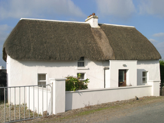 Sutton Cottagefarm house · 972 yd
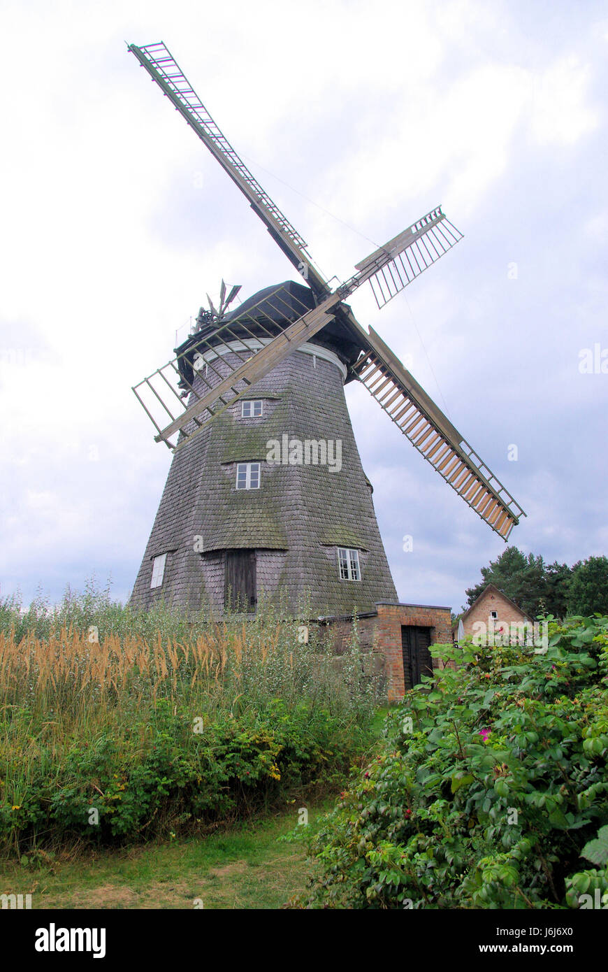 Wind MillWindmill · 975 yd
 Site of CastleCastle, unclassified · 1253 yd
 Wind Mill StumpWindmill · 1329 yd
 ScargeenIsland · 1608 yd
 CastleHouse, fortified house · 1622 yd
 The Chour / The Hill of the ChourMountain / peak · 1646 yd
 Lady's IslandVisitor information · 1.0 mi
 The CaamstoneNamed rock · 1.1 mi
 The Caravan RockNamed rock · 1.4 mi