What is recorded here
A house and a watermill (WX048-011----) are depicted on the Down Survey map of Forth barony (1656-8) at Milltown (5) in Kilscoran parish. Rowland Scurlocke owned 70 acres at Milltown in 1640 (Simington 1953, 304).
See the attached section of the Down Survey barony map (N at right) reproduced courtesy of the National Library of Ireland
Compiled by: Michael Moore
Date of upload; 8 January, 2014
The monument record does not grant public access. Check the route and ask the landowner before entering private land.
- What survives
- Recorded monument
Places near here
 Corn MillMill, corn · 208 yd
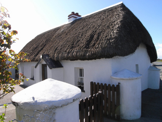 Murphy's Cottagefarm house · 408 yd
 St. Marys WellHoly well · 698 yd
 CastleCastle, tower house · 1273 yd
 Enclosure in SladEnclosure · 1335 yd
 Birdlife of RosslareVisitor information · 1.8 mi
 Marconi HouseMemorial · 2.1 mi
 Rosslare Harbour Maritime Heritage CentreMuseum · 2.1 mi
 Ballyrane Castle (in ruins)Castle, tower house · 2.5 mi
 Rosslare Strand BeachBeach / strand · 2.9 mi
 The Fairy Stone/RockNamed rock · 3.3 mi
 Shernock Hill/Knocks HillMountain / peak · 3.4 mi