What is recorded here
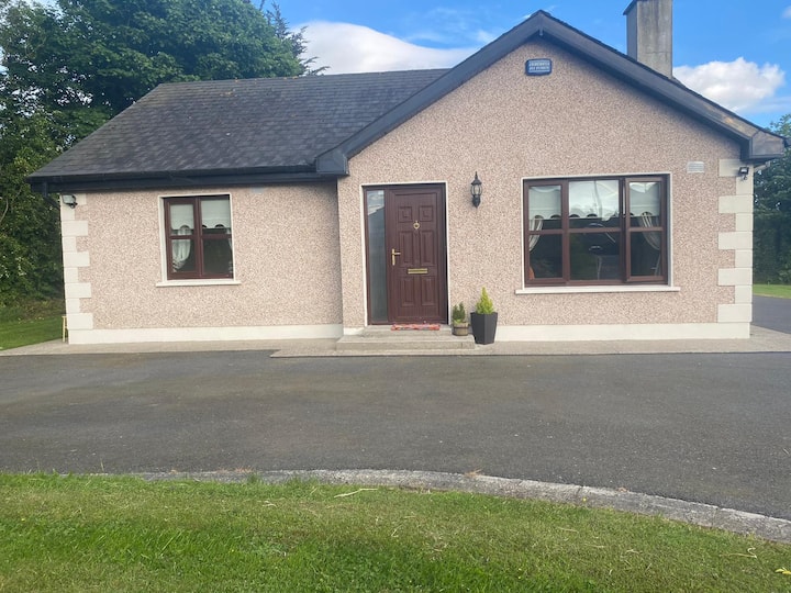
Lands were granted to Sir Roger Jones in 1618 and a brick house of two-and-a-half storeys (dims. c. 7m x c. 9m) and a court (dims. c. 12m x 12m) had been built by 1621. The property then passed to Lord Edward Chichester of Prospect (WX007-049----), who sold it to Piers Synnott in 1633 (Loeber and Stouthamer-Loeber 1987, 193). It was described as a decayed stone house at Coranvready, probably Middletown townland, in the Civil Survey (1654-6) (Simington 1953, 36). Chichester is also recorded in the Civil Survey as owning land in the townlands of Ballinatray, Ballydane, Ballinageelock, Ballinakill, Ballinagrann, Ballybrackan and the unknown Glanredery. The location of the stone house is not known, but Middletown House may be on the original site.
The above description is derived from the published 'Archaeological Inventory of County Wexford' (Dublin: Stationery Office, 1996). In certain instances the entries have been revised and updated in the light of recent research.
Compiled by: Michael Moore
Date of upload/revision: 13 April, 2012
The monument record does not grant public access. Check the route and ask the landowner before entering private land.
- What survives
- Recorded monument
Places near here
 Church of Saint John the Evangelist (Ardamine)church/chapel · 305 yd
 Stone CrossCross, Wayside cross · 317 yd
 IndicatedCastle, motte and bailey · 319 yd
 Church in Middletown (ballaghkeen By., Ardamine Ed)Church · 333 yd
 Courtown Amusement CentreHeritage attraction · 1527 yd
 Maritime MonumentMonument · 1607 yd
 Courtown WoodsWood · 1.4 mi
 Holm OakHolm Oak · 1.5 mi
 Short Strand BeachBeach / strand · 2.2 mi
 Banoge HillMountain / peak · 2.2 mi
 Duffcarrig Rocks BeachBeach / strand · 2.3 mi
 Carriganeagh RockMountain / peak · 2.7 mi