
What is recorded here
Situated on the sand-dunes with the sea-shore c. 100m to the E. The site of the parish church of Ardamine (WX012-009003-) is within the rectangular graveyard (dims. c. 40m N-S; c. 40m E-W) marked on the 1839 ed. of the OS 6-inch map that is now N of the St. John's Church of Ireland church. According to a Visitation by Thomas Ram, the Protestant bishop of Ferns, in 1615 Murtagh Mc Parson was the priest, and while the church was in repair the chancel was in ruins (Hore 1900-11, vol. 6, 273). Thare are no visible remains of an ancient church at ground level within the graveyard defined by masonry walls. The plain Latin cross (WX012-009002-) is c. 120m to the S, within a new graveyard, and the motte and bailey (WX012-010----) is c. 140m to the S.
Compiled by: Michael Moore
Date of upload: 13 April, 2012
Amended: 4 Sep. 2013
The monument record does not grant public access. Check the route and ask the landowner before entering private land.
- What survives
- Recorded monument
Places near here
 Church of Saint John the Evangelist (Ardamine)church/chapel · 43 yd
 Stone CrossCross, Wayside cross · 136 yd
 IndicatedCastle, motte and bailey · 168 yd
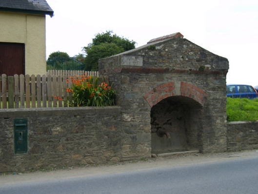 fountainfountain · 694 yd
 Maritime MonumentMonument · 1410 yd
 Courtown Amusement CentreHeritage attraction · 1431 yd
 Courtown WoodsWood · 1.3 mi
 Holm OakHolm Oak · 1.4 mi
 Short Strand BeachBeach / strand · 2.2 mi
 Duffcarrig Rocks BeachBeach / strand · 2.2 mi
 Banoge HillMountain / peak · 2.4 mi
 Carriganeagh RockMountain / peak · 2.8 mi
Other information
Photo: Credit not shown in the picture search · Rights wording not checked; contact us if this picture should be removed