What is recorded here
A grant of land was made to a Henry Piers in 1613 but he sold it to Edmund Medhop in 1615. Medhop got a grant of the land as the manor of Medopall in 1621, but he died soon afterwards and had not built a house by then. The lands passed through marriage to Sir Francis Annesley, Lord Mountnorris (Loeber and Stouthamer-Loeber 1987, 192-3). According to the Civil Survey (1654-6) in 1641 Lord Mountnorris owned 930 acres in the townlands of Camolin, Milshoge, Tullabeg, and the unknown Cranecrenecty. This was probably the manor of Medop Hall, also called Milshoge. On this property was a stone house, a mill, and a bridge. The location of the house is not known. (Simington 1953, 272)
The above description is derived from the published 'Archaeological Inventory of County Wexford' (Dublin: Stationery Office, 1996). In certain instances the entries have been revised and updated in the light of recent research.
Compiled by: Michael Moore
Date of upload/revision: 21 May, 2012
The monument record does not grant public access. Check the route and ask the landowner before entering private land.
- What survives
- Recorded monument
Places near here
 Milshoge RockMountain / peak · 451 yd
 Enclosure in NorrismountEnclosure · 941 yd
 White WellHoly well · 1213 yd
 Camolin National Schoolschool · 1415 yd
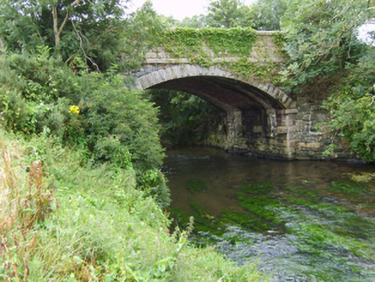 Milshoge Bridgebridge · 1423 yd
 Giants BedNamed rock · 1.6 mi
 Carrigroe HillMountain / peak · 1.7 mi
 The GroveWood · 2.3 mi
 Camolin WoodForest · 2.4 mi
 Ferns Castle (in ruins)Castle, Anglo-Norman masonry castle · 3.8 mi
 Father Murphy CentreHeritage attraction · 4.1 mi
 CastleCastle, unclassified · 4.8 mi