What is recorded here
A house is marked on the Down Survey map of Rathgormuck parish (1655-6) at Glenpatrick. It remains unlocated.
Compiled by: Michael Moore. Date of upload: 3rd June, 2011
The monument record does not grant public access. Check the route and ask the landowner before entering private land.
- What survives
- Recorded monument
Places near here
 IndicatedFairy fort / earthen ringfort · 380 yd
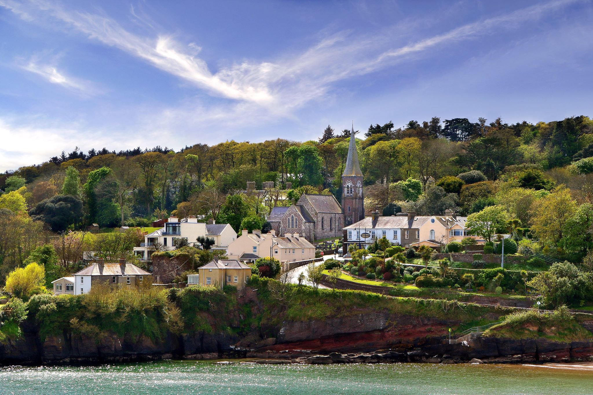 ShauneenabreagaMountain / peak · 871 yd
 CarrigseegownaMountain / peak · 941 yd
 Site of Aughnakilla Burial GroundBurial ground · 1506 yd
 Glen Poer WoodForest · 2.4 mi
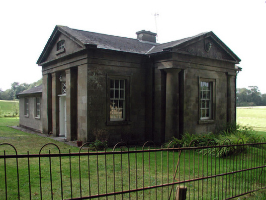 Gurteen Le Poergate lodge · 2.6 mi
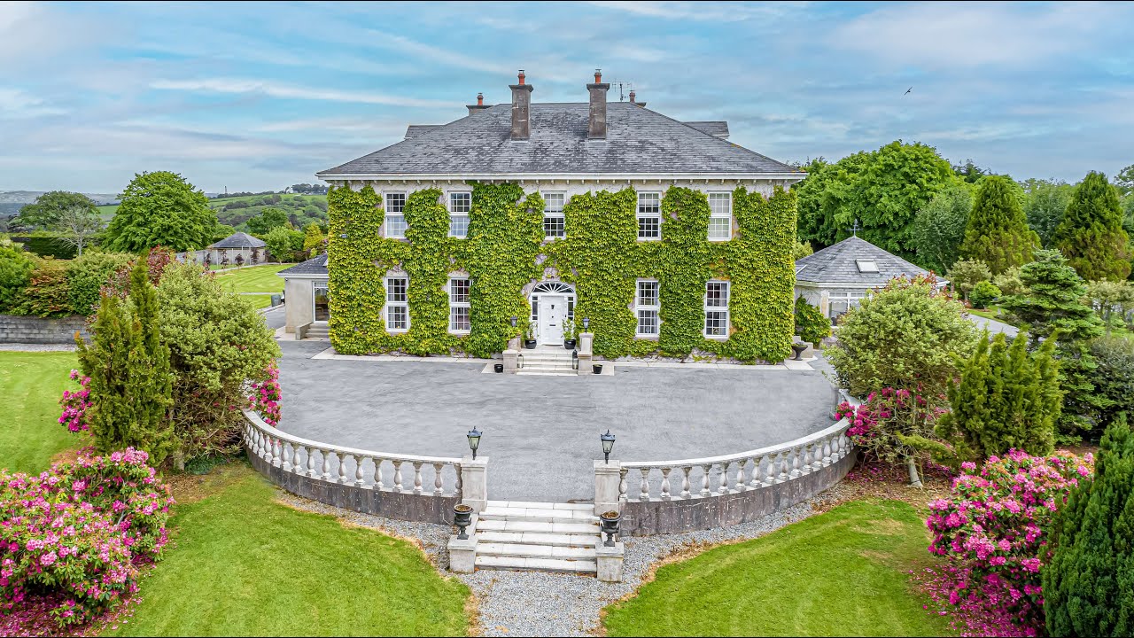 Tikincor WoodForest · 2.7 mi
 Gurteen CastleCastle · 2.9 mi
 Derrinlaur Castle (in ruins)Castle, tower house · 2.9 mi
 Kilsheelan Bridgebridge · 3.0 mi
 Curraheen TrailsVisitor information · 3.0 mi
 The Gap WalkWalking route · 3.5 mi