What is recorded here
Unlocated house or building within the townland of Derryesker that is shown on early 17th centurymap of the barony of Ballycowan, map shows small house at 'Ballikillin' next to the townland 0of Aghadonagh. There is no townland of Ballikillin on the OS 6-inch map and the townlands adjoining Aghadonagh are Derryesker and Tullybeg. The Books of Suvrey and Distribution record that Dominck Molloy was owner of Ballinkillin in 1641 (Loeber 1988, vol. 1, 22)
The above description is derived from the published 'Archaeological Inventory of County Offaly' (Dublin: Stationery Office, 1997). In certain instances the entries have been revised and updated in the light of recent research.
Date of upload: 23 May 2011
The monument record does not grant public access. Check the route and ask the landowner before entering private land.
- What survives
- Recorded monument
Places near here
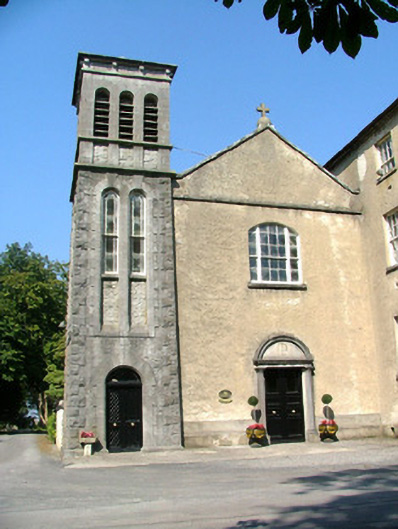 Saint Stanislaus Catholic College Chapelchurch/chapel · 810 yd
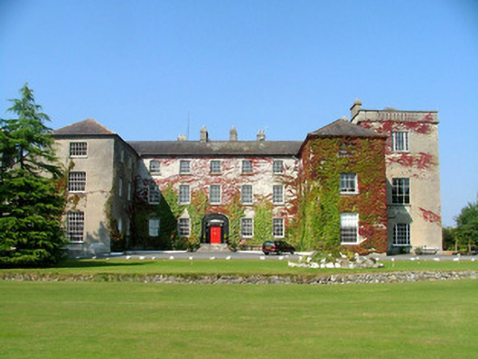 Saint Stanislaus Catholic Collegeschool · 810 yd
 HawthornHawthorn · 1492 yd
 BarrowBarrow, ditch barrow · 1493 yd
 European YewEuropean Yew · 1498 yd
 Enclosure in AghaluskyEnclosure · 1587 yd
 Trumpet HillMountain / peak · 1.4 mi
 Castle (in ruins)Castle, tower house · 1.7 mi
 Clara Bog BoardwalkHeritage attraction · 2.2 mi
 Ballycowan CastleCastle · 2.6 mi
 Ardnagross WellSpring · 3.4 mi
 Inchaloon IslandIslet · 3.6 mi