What is recorded here
Four small houses or cabins are marked on the Down Survey (1656-8) parish map of Tacumshin parish in NLI (ms 725; microfilm: P 7384; N 6380) at Churchtown (9), but none is marked on the barony map of Forth. The houses are in the vicinity of the church (WX053-001001-), but the location of this house is not known precisely. For the Down Survey barony map see this web-page accessed on 14 February, 2014: http://downsurvey.tcd.ie/down-survey-maps.php#bm=Forth&c=Wexford
Compiled by: Michael Moore
Date of upload: 21 March, 2014
The monument record does not grant public access. Check the route and ask the landowner before entering private land.
- What survives
- Recorded monument
Places near here
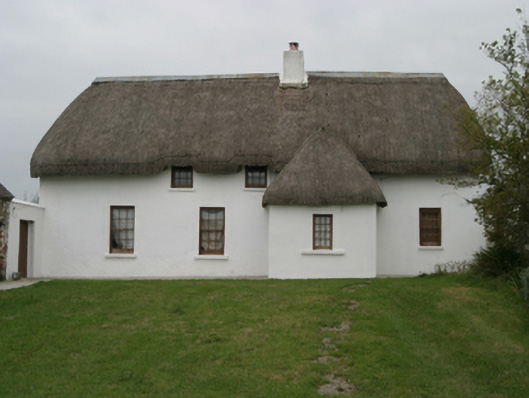 farm housefarm house · 148 yd
 Saint Catherine's Church (Tacumshin)church/chapel · 162 yd
 St. Catherines WellHoly well · 319 yd
 Castle (in ruins)Castle, tower house · 384 yd
 CastleCastle, tower house · 430 yd
 Wilson's MoorWood · 923 yd
 Sigginstown Island (Great)Island · 1104 yd
 Enclosure in KnockhowlinEnclosure · 1121 yd
 The HamBay · 1346 yd
 Sigginstown Island (Little)Islet · 1409 yd
 The White Hole BeachBeach / strand · 2.3 mi
 1798 Memorial PlaqueMemorial · 2.4 mi