What is recorded here
The Down Survey (1655-6) parish map of Shankill depicts a substantial house in the townland of 'Balletarsne' which equates well with the modern townland of Ballytarsna (Hibernia Regnum, courtesy of Trinity College Dublin). The house is indicated in the W portion of the townland and could be on either OS 6-inch sheet 11 (recorded as KK016-011----) or sheet 21 (recorded as KK016-036----). The precise location of the house is unknown.
KK016-011----/KK021-036---- Down Survey (1655-6) parish map of Shankill (Hib. Reg., courtesy of Trinity College Dublin).
Compiled by: Jean Farrelly
Date of upload: 30 April 2020
The monument record does not grant public access. Check the route and ask the landowner before entering private land.
- What survives
- Recorded monument
Places near here
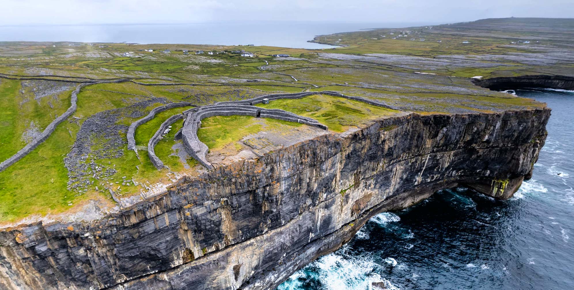 Enclosure in DuningaEnclosure · 1165 yd
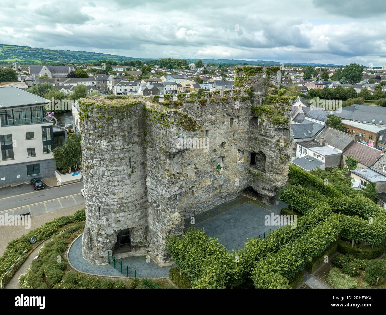 Enclosure in FenniscourtEnclosure · 1476 yd
 Saint John's Church (Shankill)church/chapel · 1510 yd
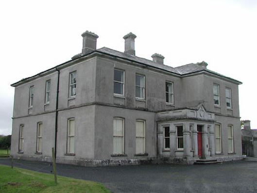 View Mountcountry house · 1531 yd
 The Green GardenWood · 1.1 mi
 Church (in ruins), GraveyardChurch · 1.2 mi
 Lock Keeper's House and Lodge MillsVisitor information · 2.2 mi
 Site of CastleCastle, unclassified · 2.4 mi
 The Columban WayVisitor information · 2.5 mi
 Wych ElmWych Elm · 3.0 mi
 Lord Galmoys Catle (in ruins)Castle, unclassified · 3.4 mi
 Church, GraveyardChurch · 3.9 mi