What is recorded here
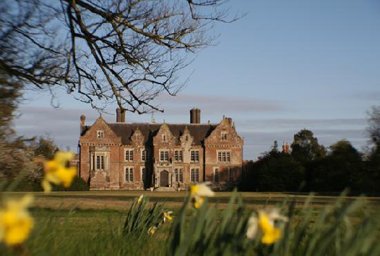
Apart from the castle (WX048-001----), a house is marked on the Down Survey (1656-8) parish map of Ballybrennan parish in the NLI (ms, 725; microfilm P 7384; N 6380) at Ballybrennan townland, and the terrier or commentary lists a slate house at Ballybrennan. The precise location of this house is not known.
See the attached section of the Down Survey barony map (N at right) reproduced courtesy of the National Library of Ireland
Compiled by: Michael Moore
Date of upload: 2 January, 2014
The monument record does not grant public access. Check the route and ask the landowner before entering private land.
- What survives
- Recorded monument
Places near here
 Ashfield Housefarm house · 161 yd
 St. Keevils WellHoly well · 411 yd
 Church (in ruins)Church · 602 yd
 CastleCastle, unclassified · 646 yd
 Enclosure in Yoletown (forth By., Rosslare Ed)Enclosure · 1227 yd
 Ballyrane Castle (in ruins)Castle, tower house · 1.1 mi
 Birdlife of RosslareVisitor information · 2.3 mi
 Marconi HouseMemorial · 2.3 mi
 The Heron's MeadowForest · 3.2 mi
 The Bull RockForest · 3.4 mi
 The HamBay · 3.8 mi
 1798 Memorial PlaqueMemorial · 3.8 mi