What is recorded here
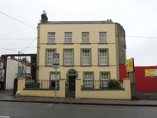
Detached four-bay three-storey former house, built c.1780, having three-storey returns to rear (east) elevation, now in use as apartments. M-profile pitched artificial slate roof, having brick chimneystacks to gable ends. Rendered coping to parapet and cast-iron rainwater goods. Lined-and-ruled rendered walls to front (west), north and rear elevations, having channelled quoins and chamfered plinth course. Rendered walls to south elevation. Square-headed window openings with rendered reveals and cut granite sills, painted sill course to upper floors. Painted render surrounds to ground and first floor windows, replacement timber and uPVC windows. Round-headed door opening, having painted masonry surround, timber panelled door, and plain fanlight. Garden to front, with recent gate and railings.
Prussia Street, formerly known as Cabra Lane, is an ancient routeway from Dublin city and a continuation of Manor Street. The west side of Cabra Lane was largely developed by the time of Rocque’s 1756 map of Dublin, and the east side developed from the 1760s. Formerly part of a terrace, no.29 Prussia Street now stands detached, with a yard to the north and south. The three-storey façade contributes positively to the streetscape. Though the house has been altered, with the applied render decorations probably dating from the late nineteenth century, the form and scale are reminders of the late eighteenth century character of this house.
This does not grant access. Most recorded buildings are privately owned; view them only from public ground unless the owner allows entry.
Places near here
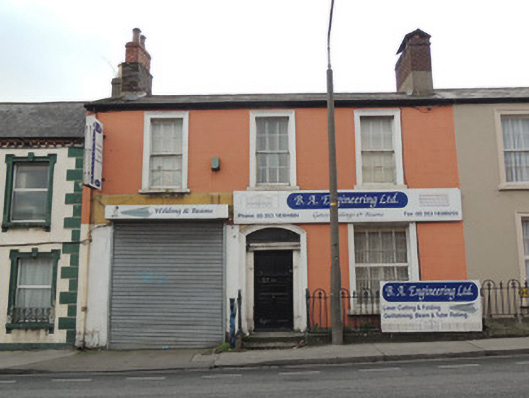 B.A. Engineering Ltd.house · 77 yd
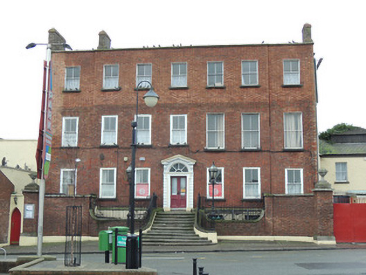 Saor Ollscoil na hÉireannhouse · 126 yd
 Hanlon's CornerMemorial · 275 yd
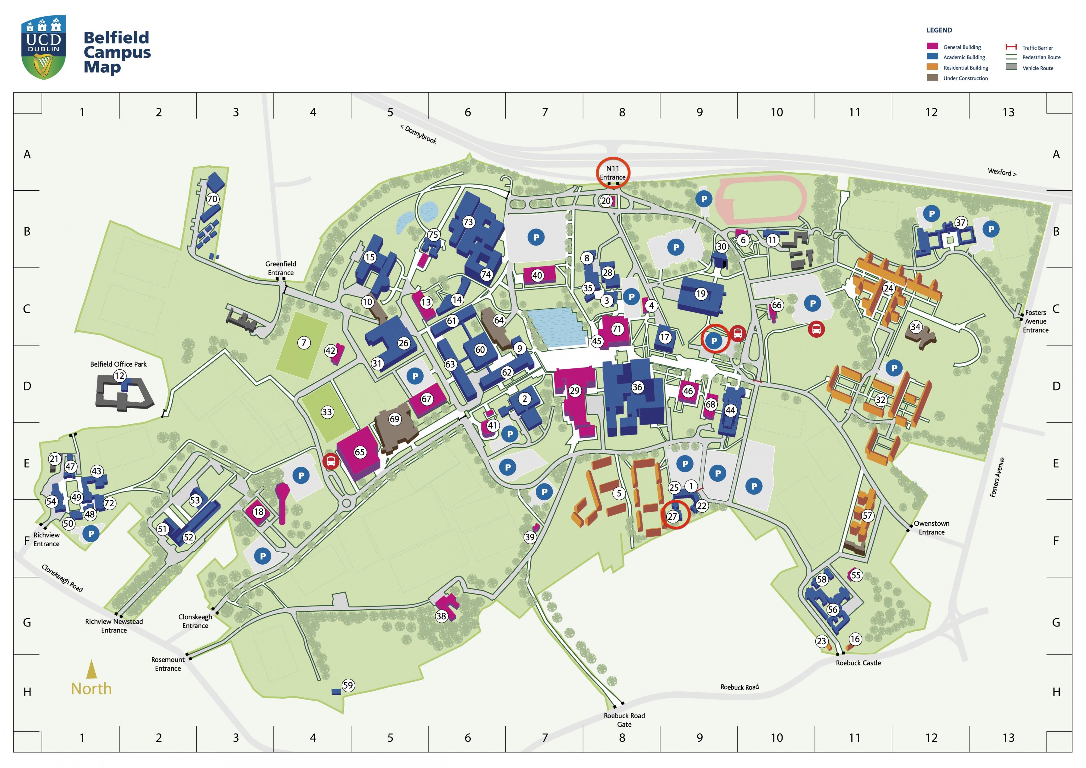 Campus Information PointVisitor information · 461 yd
 UN Veterans MemorialMemorial · 509 yd
 AsgardMuseum · 771 yd
 National Museum of Ireland, Decorative Arts & HistoryMuseum · 783 yd
 CastleCastle, unclassified · 793 yd
 Royal BarracksBarracks · 799 yd
 Burial ground in Unknown TownlandBurial ground · 969 yd
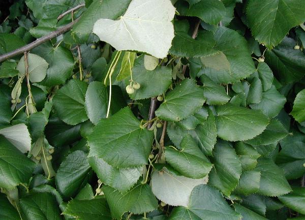 Silver LimeSilver Lime · 1050 yd
 London PlaneLondon Plane · 1094 yd
Other information
Photo: National Inventory of Architectural Heritage · Website use allowed for educational or private purposes with source credit