What is recorded here
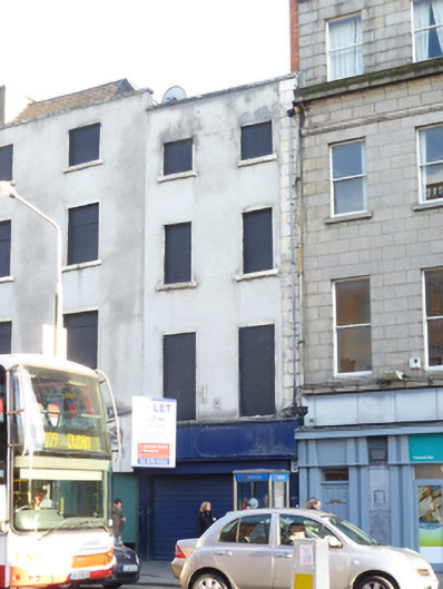
Terraced two-bay four-storey house, built c.1850, previously in use as factory, hotel and then retail outlet. Currently vacant. Hipped roof running perpendicular to street behind rendered parapet with squared granite coping. Rendered walls with rendered quoin band to west end of facade. Square-headed window openings with rendered reveals and granite sills, currently boarded up with timber. Replacement timber shopfront incorporating access to upper floors, openings concealed behind security shutter.
This building, together with its neighbours, provides an example of how subtle variations in building width and treatments can add interest and variety to a streetscape. This building has the typical two-bay width of many buildings in the area, and its chanelled quoins adds visual interest to the structure. Shown as being developed on Brookings map of 1728, the building may well have been originally gable-fronted and might incorporate early fabric. The building also appears in Shaw's Pictorial Directory of 1850 as being in use as Naughton and Co., bread and biscuit manufacturers. The street forms part of an early route running from Saint Mary's Abbey to the north coast at Clontarf along Ballybough Lane, which was incorporated from an early date into the structure of the north Georgian city and which provides the dividing line between the older city grid and the northern Georgian suburb developed by the Gardiner estate.
This does not grant access. Most recorded buildings are privately owned; view them only from public ground unless the owner allows entry.
Places near here
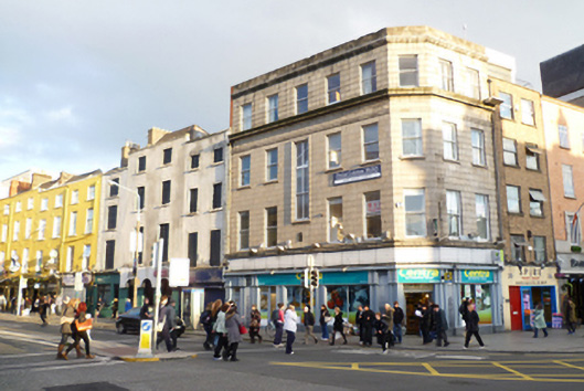 officeoffice · 14 yd
 IndicatedMonumental structure · 41 yd
 Charles Stewart Parnell Monumentmonument · 41 yd
 Anna ParnellMemorial · 84 yd
 Dublin LetteringHeritage attraction · 176 yd
 Sir Samuel FergusonMemorial · 181 yd
 Theobald MathewMonument · 193 yd
 Burial ground in Unknown TownlandBurial ground · 226 yd
 Hugh Lane GalleryGallery · 365 yd
 Burning of the Custom Housearmed conflict · 756 yd
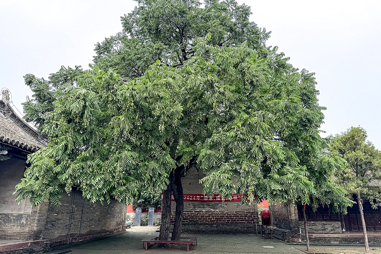 Chinese ToonChinese Toon · 833 yd
 London PlaneLondon Plane · 886 yd
Other information
Photo: National Inventory of Architectural Heritage · Website use allowed for educational or private purposes with source credit