What is recorded here
Two properties on Olaf St., which may not be an original Viking street, were partially excavated. Two sunken houses between Levels 4 (late 11th century) and Levels 6/7 (early/mid-12th century) were found adjacent to a similar house (dims. 4.8m E-W; 3.7m N-S) on Peter St. Both House 1 (dims. c. 5.4m N-S; c. 4.5m E-W) and House 2 (dims. 5.4m N-S; c. 4m E-W) on Olaf St. were inserted into a large pit (dims. of base c. 12m N-S; c. 4.6m E-W), the upcast of which may have formed a bank on the perimeter. The walls of upright staves retained the surrounding earth. The entrance to House 2 was by means of a stone-revetted passage (L 4.8m) with steps leading down from ground level. (McCutcheon 1997a)
McCutcheon, S. (1997a) Section 6 (iv) 'Catalogue of houses (b) Olaf Street, High Street and Arundel Square'in M. Hurley et al., Viking age and medieval Waterford: excavations 1986-1992, 137-54.
The above description is derived from the published 'Archaeological Inventory of County Waterford' (Dublin: Stationery Office, 1999). In certain instances the entries have been revised and updated in the light of recent research.
Date of upload/revision: 23 December 2008
The monument record does not grant public access. Check the route and ask the landowner before entering private land.
- What survives
- Recorded monument
Places near here
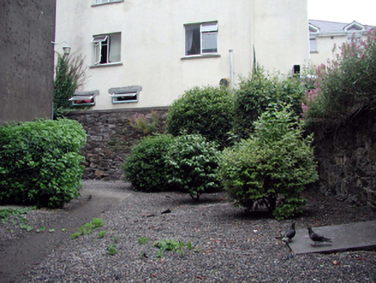 Saint Olave's Church (Saint Olave's)graveyard/cemetery · 47 yd
 Saint Mary's Catholic Churchchurch/chapel · 66 yd
 The Viking TriangleHeritage attraction · 78 yd
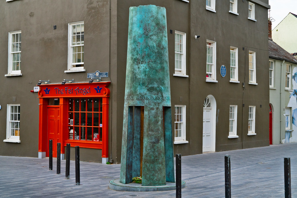 John Condon MemorialMemorial · 81 yd
 Irish Wake MuseumMuseum · 106 yd
 CathCathedral · 116 yd
 9/11 MemorialMemorial · 124 yd
 Town defences in Waterford CityTown defences · 156 yd
 Viking TriangleVisitor information · 268 yd
 Beach TowerCastle · 367 yd
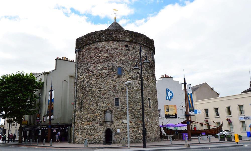 Semi-Lunar TowerCastle · 421 yd
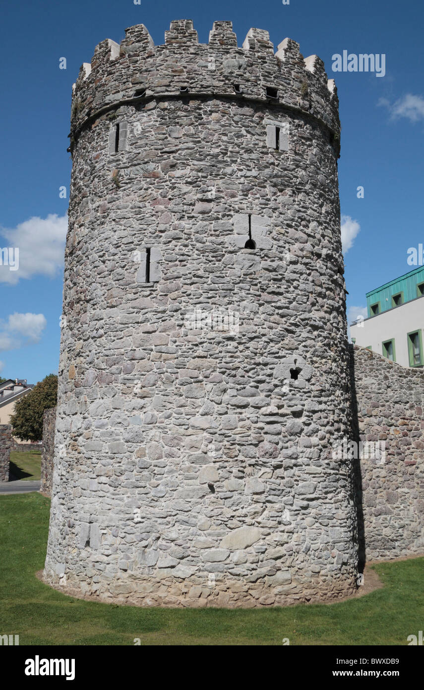 Waterford City WallsVisitor information · 428 yd