
What is recorded here
These are the remains of two houses on High St. which may be those referred to as 'John Collyn's houses' in a 15th-century charter (Bradley et al. 1989, vol. 2, 161). House 1 (min. dims. 11.6m E-W; 9.7m N-S) consisted of the E wall (H 2.6m) and adjoining portion of the S wall with the original doorway which fronted on to the S side of High St. House 2 was S of House 1 and appears to be later in date. It consists of the E and W walls of a two-storey house (min. dims. 12.4m N-S; 7.2m E-W) with an original window and fireplace in the E wall. (McCutcheon 1993) An excavation trench (Reid 1994) recorded the central aisle of a Viking house (dims. c. 8.6m N-S; c. 6.4m E-W) at the lowest level followed by a series of seven or eight scattered hearths. The late medieval levels were disturbed but an internal N-S wall was recorded in House 1 (ibid.).
Bradley, J., Halpin, A. and King, H. (1989) Urban archaeology Survey of Waterford City and County, 2 vols. Unpublished report commissioned by the Office of Public Works.
McCutcheon, S. (1993) Architectural survey, 19-21 High Street, Waterford. Unpublished report for Waterford Civic Trust.
The above description is derived from the published 'Archaeological Inventory of County Waterford' (Dublin: Stationery Office, 1999). In certain instances the entries have been revised and updated in the light of recent research.
Date of upload/revision: 23 December 2008
The monument record does not grant public access. Check the route and ask the landowner before entering private land.
- What survives
- Recorded monument
Places near here
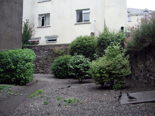 Saint Olave's Church (Saint Olave's)graveyard/cemetery · 20 yd
 The Viking TriangleHeritage attraction · 35 yd
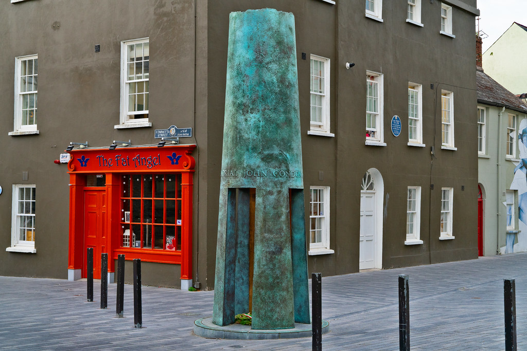 John Condon MemorialMemorial · 47 yd
 Irish Wake MuseumMuseum · 66 yd
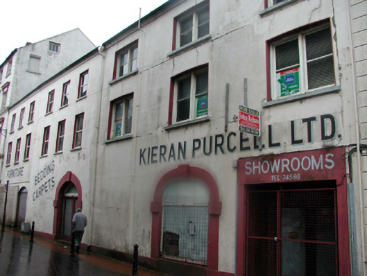 unknownunknown · 75 yd
 CathCathedral · 83 yd
 Stephen de FulburnMemorial · 104 yd
 Town defences in Waterford CityTown defences · 127 yd
 Viking TriangleVisitor information · 224 yd
 Beach TowerCastle · 406 yd
 Pedunculate OakPedunculate Oak · 538 yd
 Granny CastleCastle, tower house · 2.6 mi
Other information
Photo: Credit not shown in the picture search · Rights wording not checked; contact us if this picture should be removed