What is recorded here
The area around Arundel Square which connects the W end of Peter St. and High St. was excavated to levels corresponding with the destruction of the Viking bank WA009-005006- in the early 12th century (Level 6; D of stratigraphy 2m). At least two plots existed between the N-facing plots on High St. (WA009-005052-) and the S-facing plots on Peter St. (WA009-005045-). From the late 12th century (Level 10) to the early 14th century (Level 14) two sill-beam houses, a timber house and a stone-footed house occupied these plots. (McCutcheon 1997a, 149-54)
McCutcheon, S. (1997a) Section 6 (iv) 'Catalogue of houses (b) Olaf Street, High Street and Arundel Square'in M. Hurley et al., Viking age and medieval Waterford: excavations 1986-1992, 137-54.
The above description is derived from the published 'Archaeological Inventory of County Waterford' (Dublin: Stationery Office, 1999). In certain instances the entries have been revised and updated in the light of recent research.
Date of upload/revision: 23 December 2008
The monument record does not grant public access. Check the route and ask the landowner before entering private land.
- What survives
- Recorded monument
Places near here
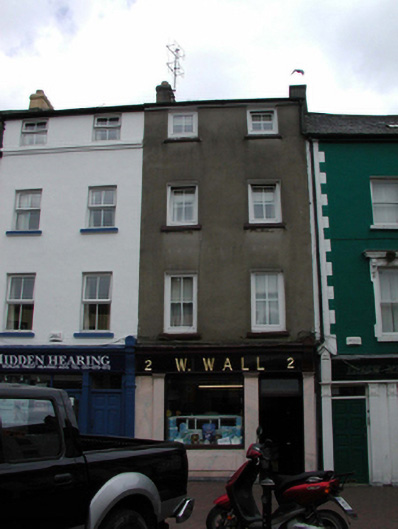 W. Wallhouse · 46 yd
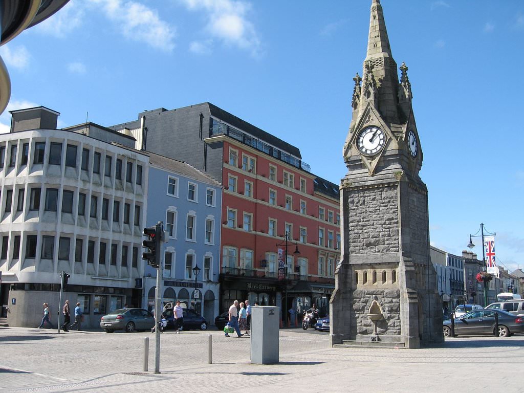 Kiln in Waterford CityKiln · 52 yd
 Habitation site in Waterford CityHabitation site · 133 yd
 Holy well in Waterford CityHoly well · 192 yd
 The Viking TriangleHeritage attraction · 209 yd
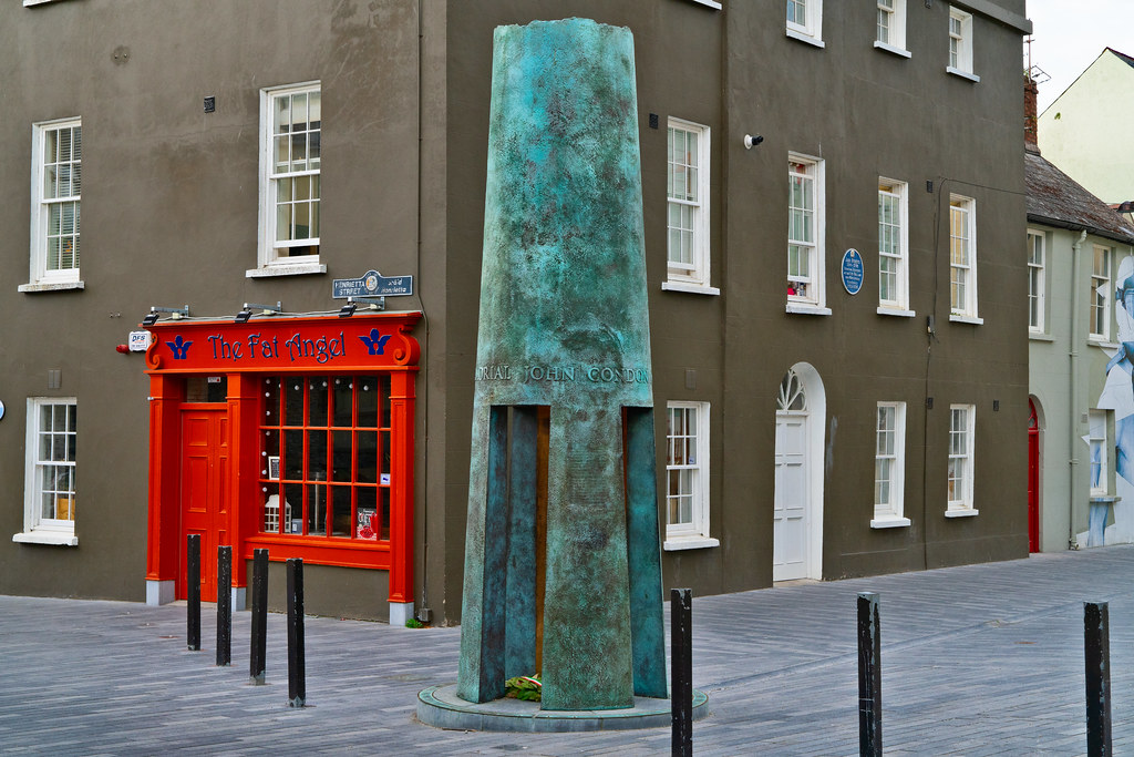 John Condon MemorialMemorial · 218 yd
 Beach TowerCastle · 232 yd
 9/11 MemorialMemorial · 242 yd
 Irish Wake MuseumMuseum · 244 yd
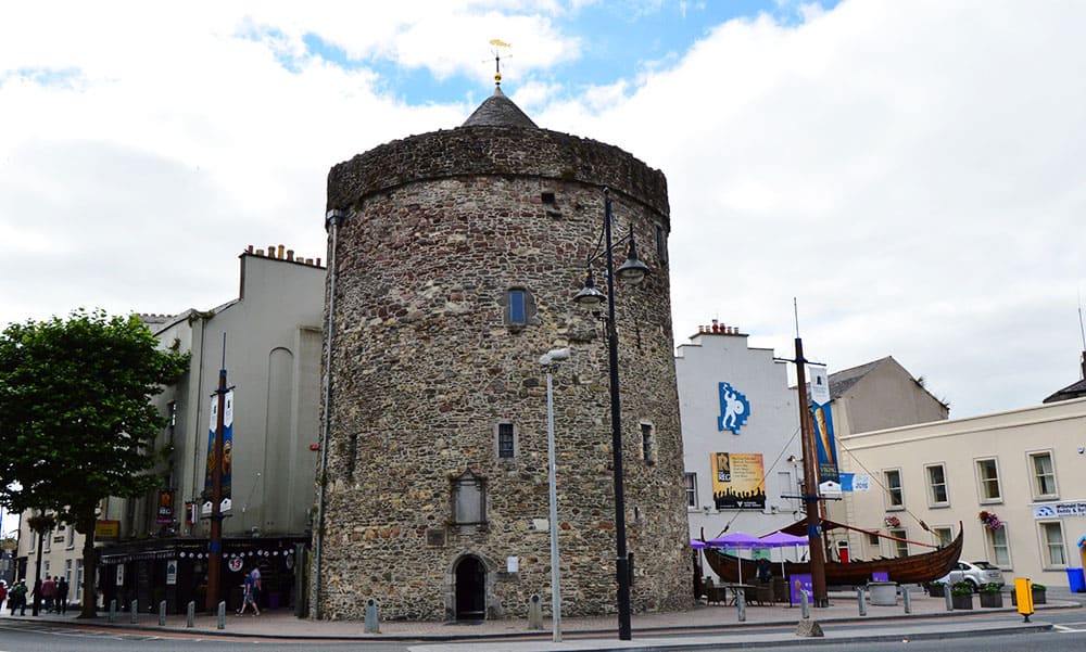 Semi-Lunar TowerCastle · 295 yd
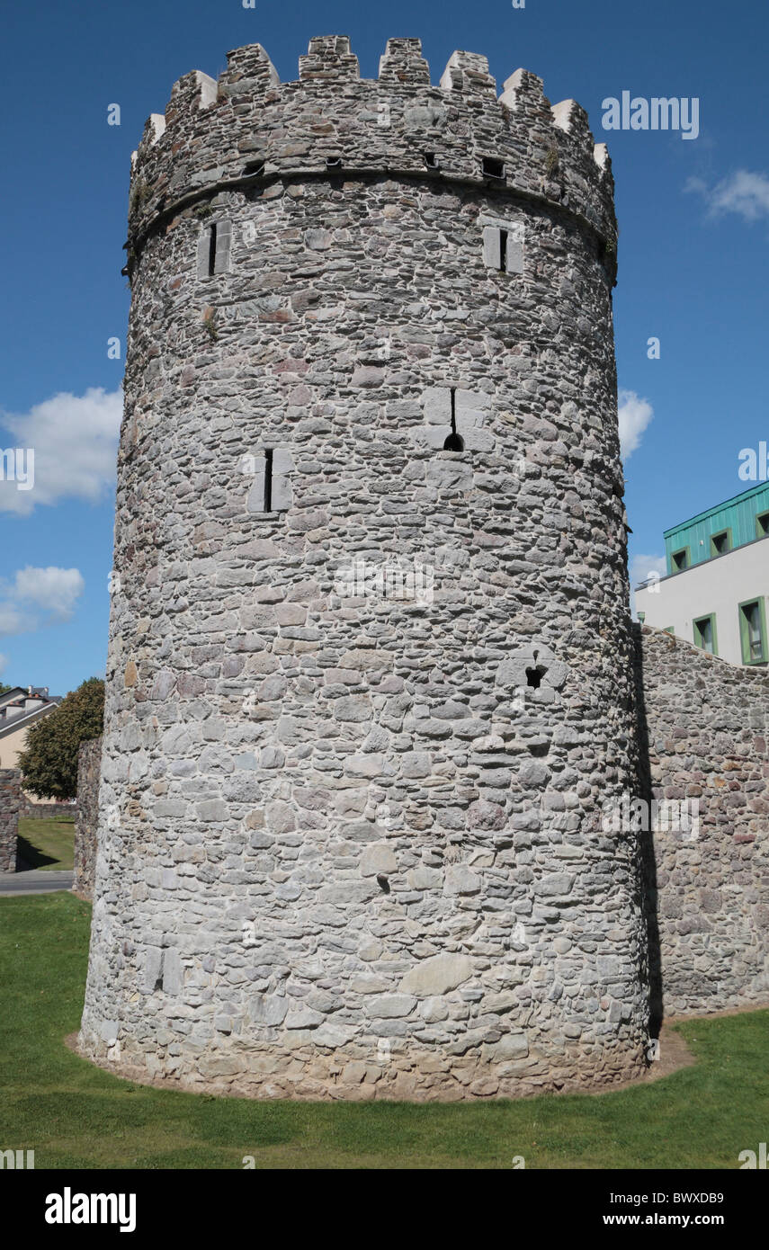 Waterford City WallsVisitor information · 312 yd
 Viking TriangleVisitor information · 401 yd