What is recorded here
Situated on a knoll on a gentle SE-facing slope, with a S-N section of the Delvin River c. 50m to the E and c. 10m S of the S boundary of the graveyard at Stamullin church (ME034-001----). Archaeological testing (95E0143) produced evidence of a house floor cut into the subsoil with an occupation layer (L c. 4m; Wth c. 1.5m), which was cut by a pit, and a hearth. Medieval pottery post-dated this house. (Swan 1996a; 1996b)
Compiled by: Michael Moore
Date of upload: 11 February, 2015
The monument record does not grant public access. Check the route and ask the landowner before entering private land.
- What survives
- Recorded monument
Places near here
 Ecclesiastical enclosure in StamullinEcclesiastical enclosure · 61 yd
 QuarryQuarry · 601 yd
 Man-made underground passage in Gormanstown DemesneMan-made underground passage · 975 yd
 Ballshill PlantingForest · 1524 yd
 SycamoreSycamore · 1.1 mi
 Gormanston CastleCastle · 1.1 mi
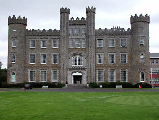 Gormanston Collegecastle/fortified house · 1.1 mi
 MoatCastle, motte · 2.1 mi
 Ben HeadCliff · 2.4 mi
 Clonard SpringSpring · 2.4 mi
 Seamus Ennis Cultural CentreMemorial · 3.1 mi
 Bun-na-CnoicMemorial · 3.3 mi