
What is recorded here
Located on the steep W-facing slope of High Hill. Archaeological testing (19E0256) in May 2019 by C. McLoughlin revealed part of a medieval building that was partly excavated in October 2020 by the same archaeologist under the same licence when a medieval pit was sampled in another adjacent area (McLoughlin 2021). The E part of a medieval building (ext. dims 15.5m N-S; 4.4m plus E-W) that probably had a gable fronting onto High Hill at S was defined by stone walls and had been excavated into the shale bedrock. The wall at N (Wth 1-1.5m; H 0.4m) was damaged where there may have been a doorway. The N end of the E wall (surviving L 6m; Wth 0.85m; H 1m) had been removed by a rubble-filled pit, and the S wall was represented only by a robber trench. The walls retained a number of floor surfaces that were sampled (T 0.2m). A hard grey soil with charcoal flecks and flat stones formed the earliest floor overlaid by a grey/brown silty clay habitation layer. An area (max. dims 2m x 2m) of charcoal-rich silty clay could be a hearth. These were overlain by four layers of yellow-brown clays with charcoal from the demolition of the house, whose occupation layers have thirteenth century ceramics. The pit (max. dims 5m N-S; 3.5m E-W; D 1.2m) was truncated on all sides by eighteenth and nineteenth century features. The topmost of two layers was garden soil but the lower was medieval fill of the pit. (McLoughlin 2021)
Compiled by: Michael Moore
Date of upload: 3 August 2021
The monument record does not grant public access. Check the route and ask the landowner before entering private land.
- What survives
- Recorded monument
Places near here
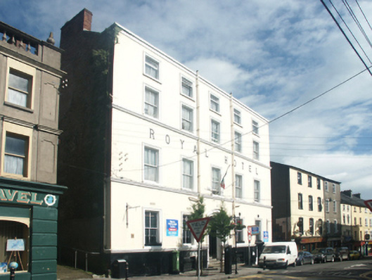 Royal Hotelhouse · 39 yd
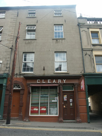 Clearyhouse · 51 yd
 1798 MonumentMemorial · 129 yd
 Battle of New Ross (1798)Major battlefield · 170 yd
 O'NeillMemorial · 334 yd
 Site of Dominican AbbeyReligious house, Dominican friars · 448 yd
 DunbrodyHeritage attraction · 474 yd
 Ros Tapestry ExhibitionGallery · 491 yd
 Convent of Dominicans (Site of)Church · 624 yd
 HawthornHawthorn · 2.3 mi
 Lacken HillMountain / peak · 2.5 mi
 Forest Of The DunbrodyForest · 2.5 mi
Other information
Photo: Credit not shown in the picture search · Rights wording not checked; contact us if this picture should be removed