
What is recorded here
Burke (1907, 56) describes a block of houses, known as 'Middle Row' which occupied the centre of the upper O'Connell St., between the West Gate and the junction of Mary St. and Bridge St. On either side of this block of houses there was a narrow street or lane running from West Gate to the junction of Mary St. and Bridge St. That to the N of the row was called North Lane and that to the S of the row was called West Street or West Gate Street. The row was still standing in 1677 when, 'the houses in the middle of the street', are mentioned in relation to a corporation dispute (ibid. 494 footnote). The row was possibly demolished in the late 17th or 18th century.
Compiled by: Jean Farrelly
Date of upload: 22 August 2023
The monument record does not grant public access. Check the route and ask the landowner before entering private land.
- What survives
- Recorded monument
Places near here
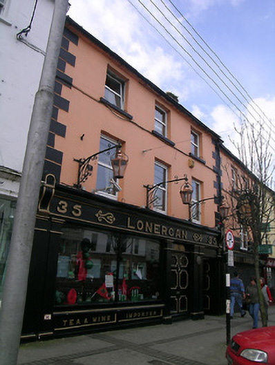 Lonerganhouse · 17 yd
 IndicatedHouse, 16th/17th century · 53 yd
 Merchant's HouseVisitor information · 57 yd
 Habitation site in Burgagery-Lands WestHabitation site · 95 yd
 Grubb's IslandIslet · 131 yd
 Francis HopkinsMemorial · 148 yd
 Creamery (site of)Archaeological place · 162 yd
 Streches IslandIsland · 163 yd
 John HackettMemorial · 178 yd
 CastleCastle, unclassified · 181 yd
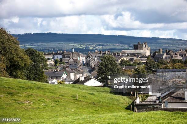 VestryCastle · 223 yd
 Main GuardHeritage attraction · 278 yd
Other information
Photo: Credit not shown in the picture search · Rights wording not checked; contact us if this picture should be removed