What is recorded here
Unlocated dwelling within townland as depicted on a manuscript map in the OS Letters vol. 2 p. 301. Possible castle or tower house depicted on Down Survey (1655-6) manuscript map of Co. Laois
Compiled by: Caimin O'Brien
Date of upload: 17 December 2007
The monument record does not grant public access. Check the route and ask the landowner before entering private land.
- What survives
- Recorded monument
Places near here
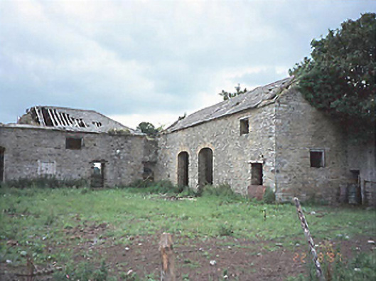 Castlecuffestables · 1040 yd
 Castle Cuffe (ruins)Castle · 1071 yd
 Enclosure in CastlecuffeEnclosure · 1407 yd
 Enclosure in Ballykenneen LowerEnclosure · 1486 yd
 Partiall hachuredBawn · 1674 yd
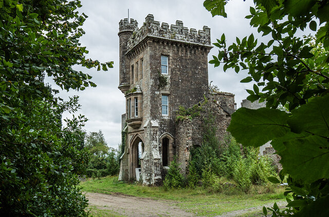 Brittas HouseRuins · 1.1 mi
 Kilmanman church (in Ruins), GraveyardChurch · 1.2 mi
 Church (in Ruins), Graveyard, CarrigeenChurch · 2.6 mi
 Slieve Bloom MountainsMountain range · 3.4 mi
 Giant's Grave LoopWalking route · 3.5 mi
 Mullagh HillMountain / peak · 4.1 mi
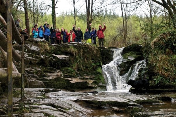 Slieve Bloom WayWalking route · 4.5 mi