
What is recorded here
Nothing is known of the form or extent of the domestic housing within the borough of Ardnurcher (WM031-104----) but a stone house is specifically referred to in a grant of c.1280 (Bradley et. al. 1985, 14; Brooks 1936, 162). An irregular shaped poorly preserved earth and stone mound in the field 90m WSW of Ardnurcher Church (WM031-098----) and graveyard represents the grass covered remains of a possible medieval stone structure which may have been the stone building referred to in the 13th century. This stone building is located on on the W edge of the ridge of high ground running across the medieval settlement of Ardnurcher. The building appears to have been standing along the town wall (WM031-107----) of Ardnurcher or just inside the enclosing element of the town defences of Ardnurcher which follows the natural contour of the ridge on which it is situated. The poorly preserved remains makes it impossible to be certain that these are the remains of a building. It is possible that they may be the remains of the town wall or of a mural tower/gatehouse standing along the route of the destroyed wall of Ardnurcher town. The grass covered wall footings of a short section of the town wall along with a possible mural tower can be seen 75m to the NW which area alos located on the W edge of the ridge of high ground and appear to represent the town wall and mural tower of Ardnurcher town. The wall footings of the mural tower are similar in size to the mural towers visible in the field 360m to the SE which also run along the edge of the ridge of high ground on which the historic settlement of Ardnurcher was located.
Compiled by: Caimin O'Brien
Date of upload: 14 August 2014
The monument record does not grant public access. Check the route and ask the landowner before entering private land.
- What survives
- Recorded monument
Places near here
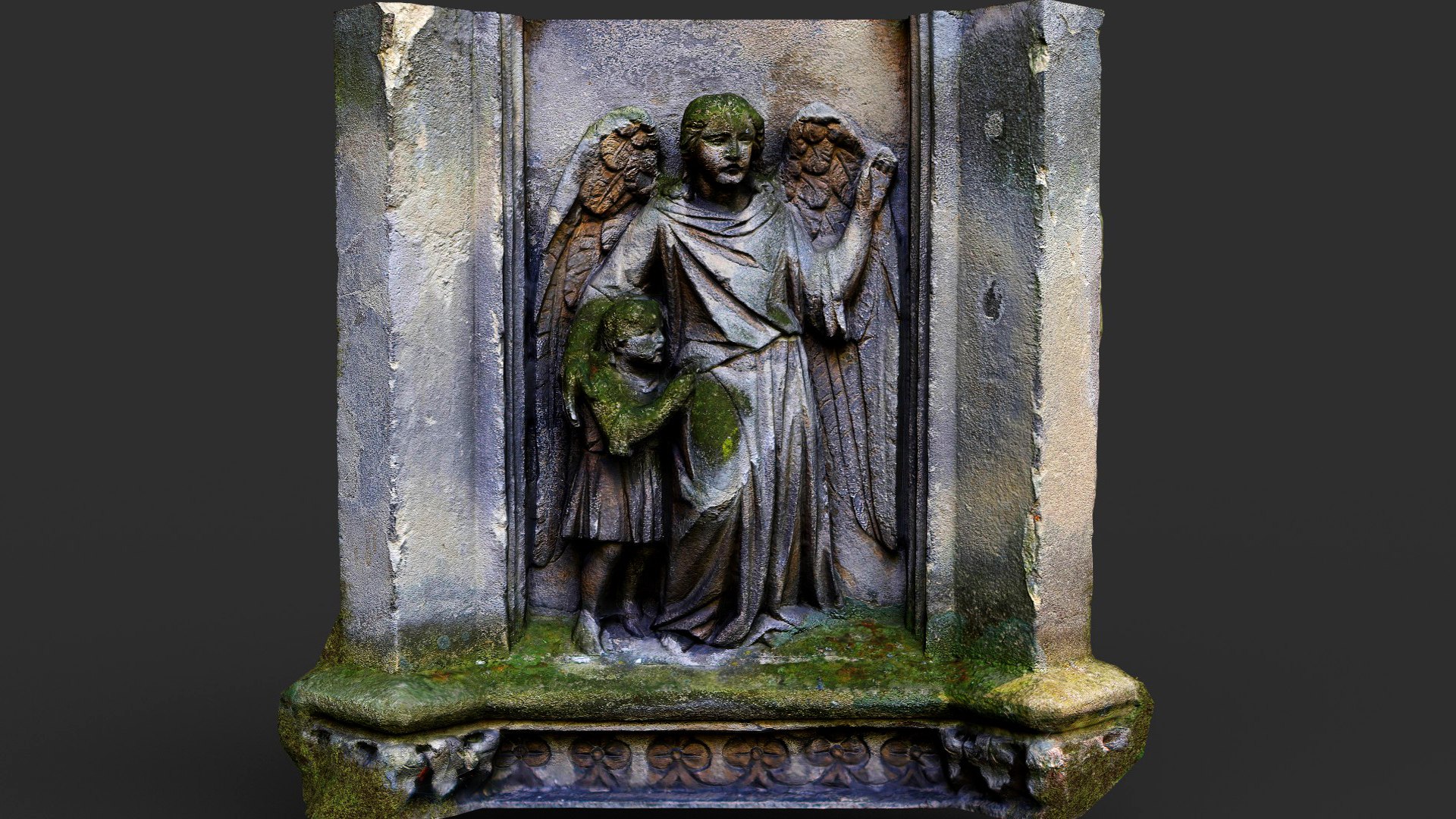 Wall monumentWall monument, effigial · 107 yd
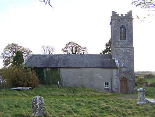 Horseleap Church (Ardnurcher or Horseleap)church/chapel · 120 yd
 Ecclesiastical enclosure in ArdnurcherEcclesiastical enclosure · 138 yd
 Settlement desertedSettlement deserted, medieval · 240 yd
 Hachured, Wall, HorseleapCastle, motte and bailey · 359 yd
 OutlinedCastle, ringwork · 1488 yd
 Kilmalady HillMountain / peak · 1.6 mi
 Chapel HillForest · 3.7 mi
 ToberaskeenSpring · 3.9 mi
 Roughan HillMountain / peak · 4.1 mi
 High WoodWood · 5.1 mi
 Clara Bog BoardwalkWalking route · 5.3 mi
Other information
Photo: Credit not shown in the picture search · Rights wording not checked; contact us if this picture should be removed