
What is recorded here
Detached four-bay single-storey vernacular house, built c. 1860, having ingle-bay single-storey outbuilding attached to the east gable end. Pitched rounded rope-and-peg straw thatch roof with wrought-iron stays/pegs to eaves, and with two smooth rendered chimneystacks (one to the west gable end and one offset to the east of centre). Roughcast rendered random rubble stone walls. Square-headed window openings with two-over-two pane horned timber sliding sash windows, and with painted concrete sills. Square-headed door opening, offset to the west side of centre, having smooth rendered reveal, and timber matchboard door with brass furnishings. Fronts directly onto the road to the north-east of Malin.
This appealing and relatively intact example of a vernacular house, of mid-to late nineteenth-century date, retains its early form and character, and is an appealing feature in the landscape to the north-east of Malin. Its integrity is enhanced by the retention of much of its salient fabric including timber sliding sash windows. Modest in scale, it exhibits the simple and functional form of vernacular building in Ireland. The rounded roof is a typical feature of thatched houses located close to the sea in exposed areas in the north-west of Ireland, while the pegs to the eaves were used to tie ropes (and sometimes nets) over the roof to secure it against the prevailing winds, as is the case here at Malin. The largely blank rear elevation is a typical feature of many small-scale vernacular dwellings in rural Ireland. The form of this building and location of the chimneystacks suggests that this building is of the ‘direct entry’ type that is characteristic of the vernacular tradition in north-west Ireland, and also suggests that this building was extended to the west by a bay at some stage. An increasingly rare type, its continued use, and sympathetic maintenance and repairs have safeguarded its character.
This does not grant access. Most recorded buildings are privately owned; view them only from public ground unless the owner allows entry.
Places near here
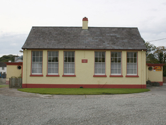 Scoil Treasa Naofa Malainnschool · 161 yd
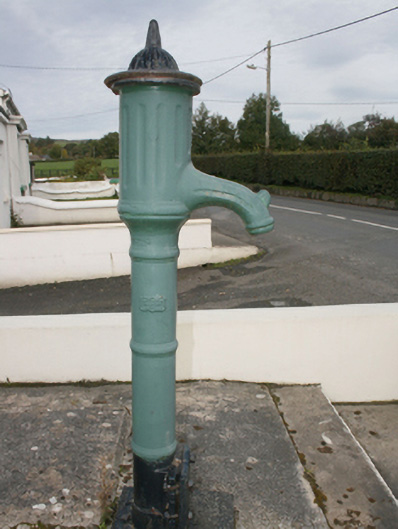 water pumpwater pump · 243 yd
 IndicatedHoly well · 1.0 mi
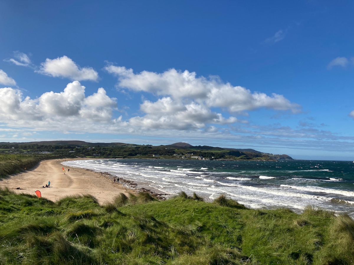 Drumaville Fairy FortFairy fort / earthen ringfort · 1.6 mi
 Lag GraveyardGraveyard · 3.0 mi
 Doagh Famine VillageMuseum · 3.1 mi
 Dough Famine VillageHeritage attraction · 3.1 mi
 Five Finger StrandBeach / strand · 3.3 mi
 Carndonagh Early Church GraveyardGraveyard · 3.3 mi
 CastleCastle, unclassified · 4.1 mi
 CuldaffOfficial bathing water · 4.4 mi
 Bawn in CarrickabraghyBawn · 4.6 mi
Other information
Photo: Kenneth Allen · CC BY-SA 2.0