
What is recorded here
Detached three-bay two-storey house, built c.1860, with large two-storey return to the rear (east). Hipped natural slate roof with a pair of rendered chimneystacks to the centre and a projecting eaves course having cast-iron rainwater goods. Smooth rendered walls to ground floor, roughcast rendered above to first floor, separated by projecting string course. Square-headed window openings with cut stone sills, rendered reveals and six-over-six pane timber sliding sash windows. Central segmental-headed doorcase with rendered surround/aedicule comprising Doric pilasters on square-plan supporting entablature over. Replacement door having replacement sidelights and a replacement fanlight over. Set back from road in own grounds with rendered wall to road frontage (west) having wrought-iron railings over. Gateway to west having rendered gate piers (on square-plan) having wrought-iron gate. Located just to the north of Lismacaffry crossroads, close to the border with Co. Longford.
An appealing and well-balanced mid nineteenth-century house, which retains its early form and character. It retains most of its important fabric including a natural slate roof and timber sliding sash windows. The front elevation of this house is distinguished by the fine Doric doorcase which dominates the front façade. However, the replacement door, sidelights and fanlight detract somewhat from its architectural impact and historic veneer. This house was probably built by somewhat of importance to the Lismacaffry area, possibly a professional such as a doctor, and is a good example of its type and date. It represents an important element of the built form of Lismacaffry and adds to the architectural heritage of the local area.
This does not grant access. Most recorded buildings are privately owned; view them only from public ground unless the owner allows entry.
Places near here
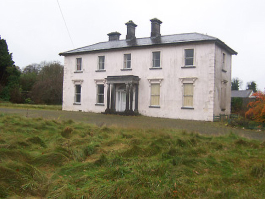 Coolambercountry house · 648 yd
 BarrowBarrow, mound barrow · 670 yd
 Site of Kinard NunneryReligious house nunnery, unclassified · 826 yd
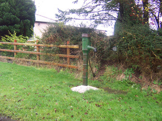 water pumpwater pump · 993 yd
 Coolamber CastleHouse, fortified house · 1221 yd
 CastleCastle, motte · 1737 yd
 Granard MotteMotte-and-bailey castle remains · 4.5 mi
 1798 Monumentmonument · 4.6 mi
 Silver FirSilver Fir · 5.2 mi
 Sweet ChestnutSweet Chestnut · 6.3 mi
 CarrickabaneMountain / peak · 6.5 mi
 CartronfreeMountain / peak · 6.9 mi
Other information
Photo: National Inventory of Architectural Heritage · Website use allowed for educational or private purposes with source credit