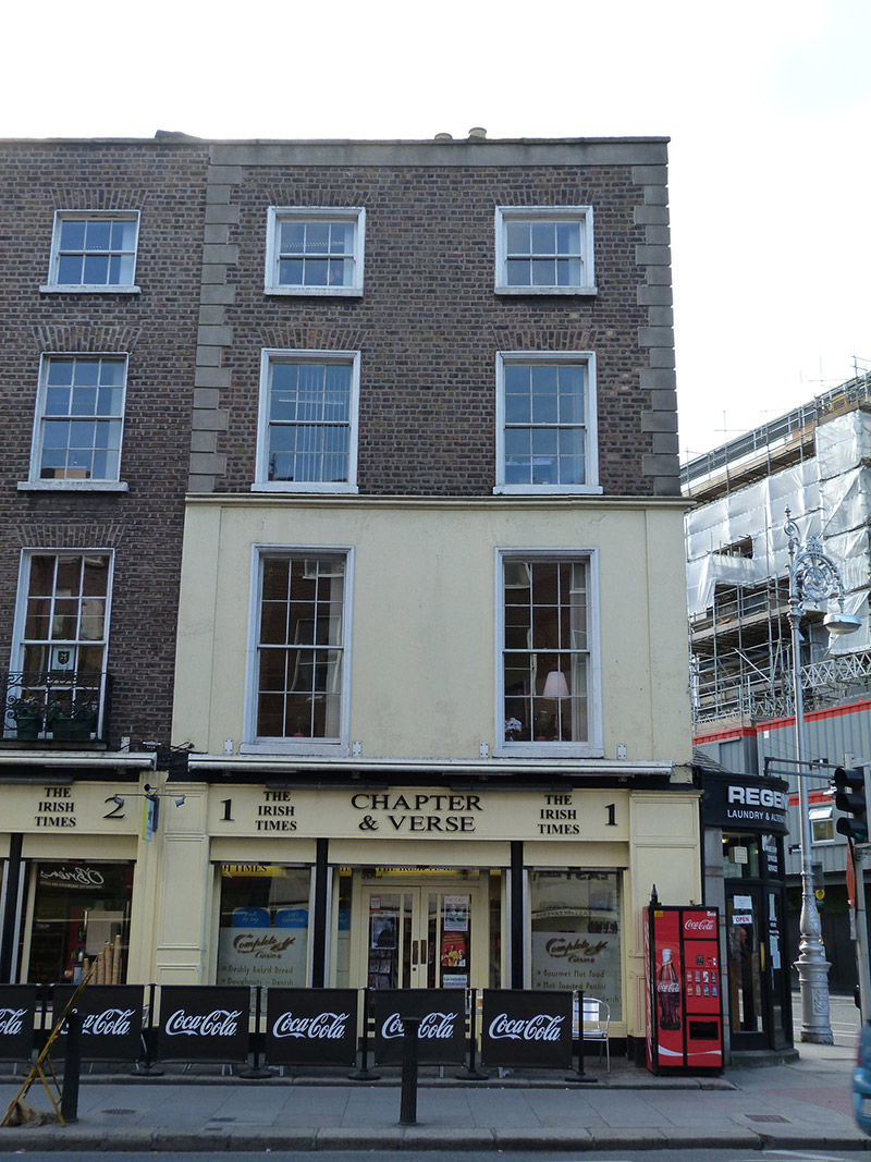
What is recorded here
End-of-terrace two-bay four-storey over concealed basement former townhouse, built c. 1780, with full-height return to rear (west) elevation and recent timber shopfront to front (east) elevation. Now in use as retail outlet. M-profile pitched slate roof, front span hipped to north end, hidden behind brick parapet with granite coping, having rendered chimneystacks with clay pots to north elevation and replacement uPVC rainwater goods to north and rear( west) elevations. Hipped slate roof to return. Brown brick walls to upper floors laid in Flemish bond with rendered quoins over render cornice and rendered walls to front (east) elevation. Brown brick walls laid in English garden wall bond to north and rear (west) elevations. Square-headed window openings with masonry sills and rendered architraves, having six-over-six pane timber sliding sash windows to first and second floors and three-over-three pane timber sliding sash windows to third floor to front elevation. Blind square-headed openings with granite sills to north elevation. Square-headed window openings with masonry sills and raised rendered reveals and replacement casement windows to rear (west) elevation. Recent timber shopfront comprising square-headed door opening with double-leaf doors, flanked by square-headed display windows. Granite platform to front. Located on west side of Leeson Street Lower.
The plan form of this former townhouse attractively addresses its wedge-shaped plot, formed by the intersection of Leeson Street and Earlsfort Terrace. Though altered by the single-storey additions and render detailing, it nonetheless retains much of its restrained traditional character. Leeson Street forms part of an ancient routeway, Suesey Street, leading from the city towards Donnybrook. Located within the Fitzwilliam Estate, which covered much of the south-east of the city, the street was named for Joseph Leeson, 1st Earl of Milltown. Plots were leased for development in the mid-eighteenth century but apart from the north-western end it remained undeveloped until the 1780s. The street was largely completed by the early nineteenth century.
This does not grant access. Most recorded buildings are privately owned; view them only from public ground unless the owner allows entry.
Places near here
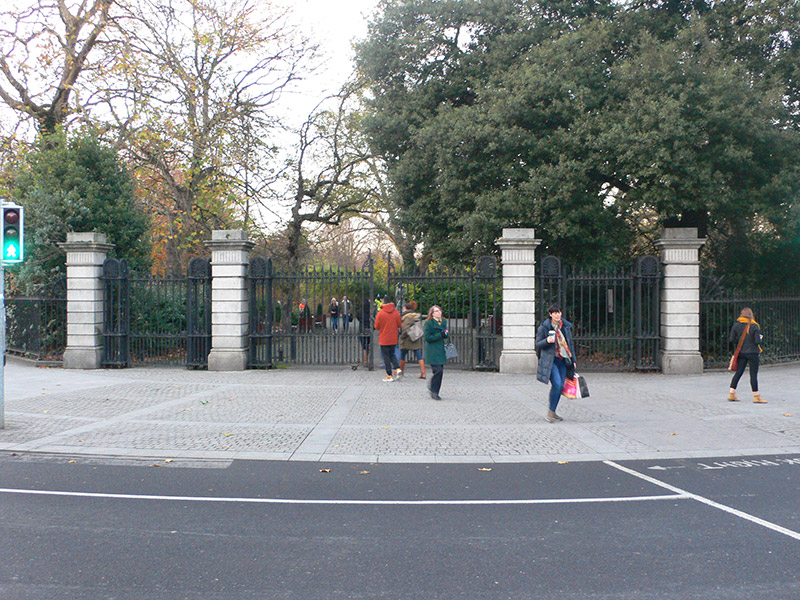 St. Stephen's Greengates/railings/walls · 69 yd
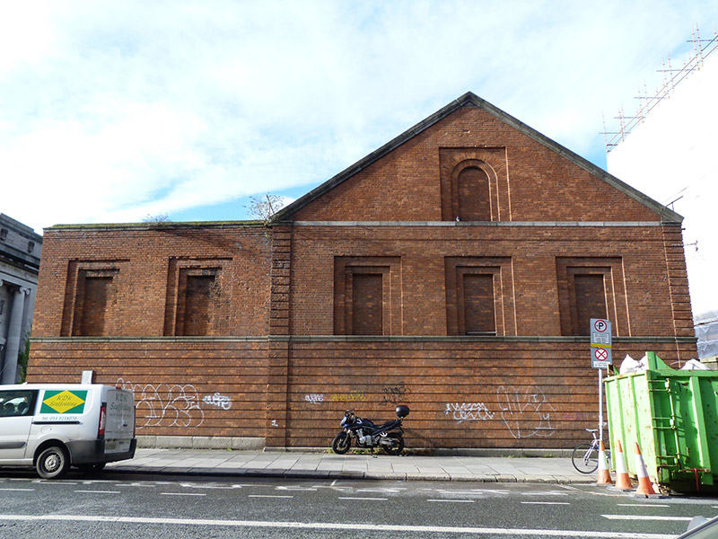 sports groundsports ground · 85 yd
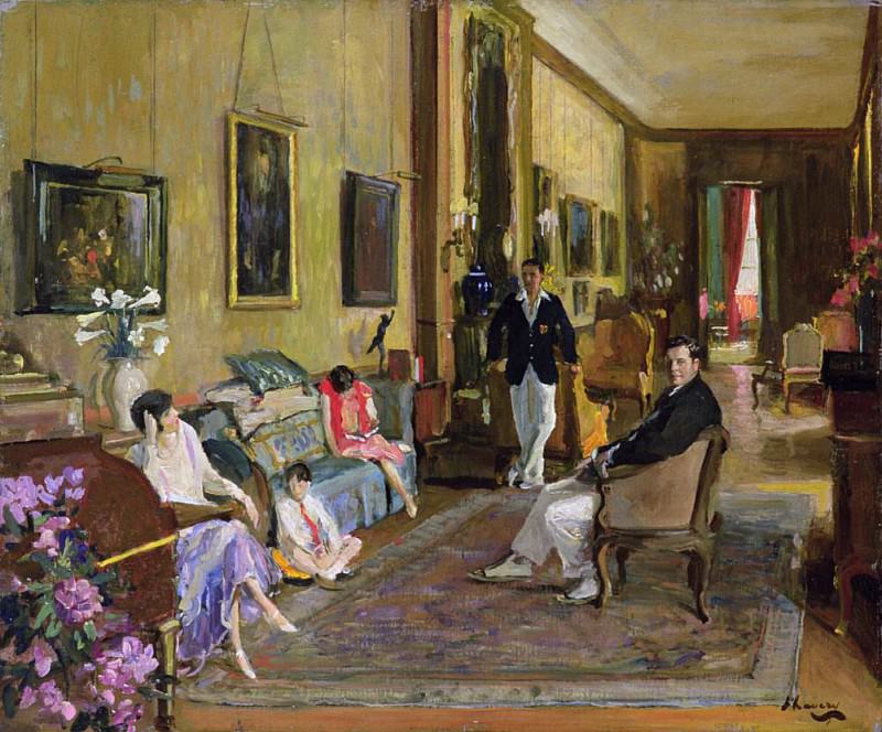 Count John McCormackMemorial · 170 yd
 Memorial to Human Rights DefendersMemorial · 222 yd
 Museum of Literature IrelandMuseum · 261 yd
 IndicatedPark · 316 yd
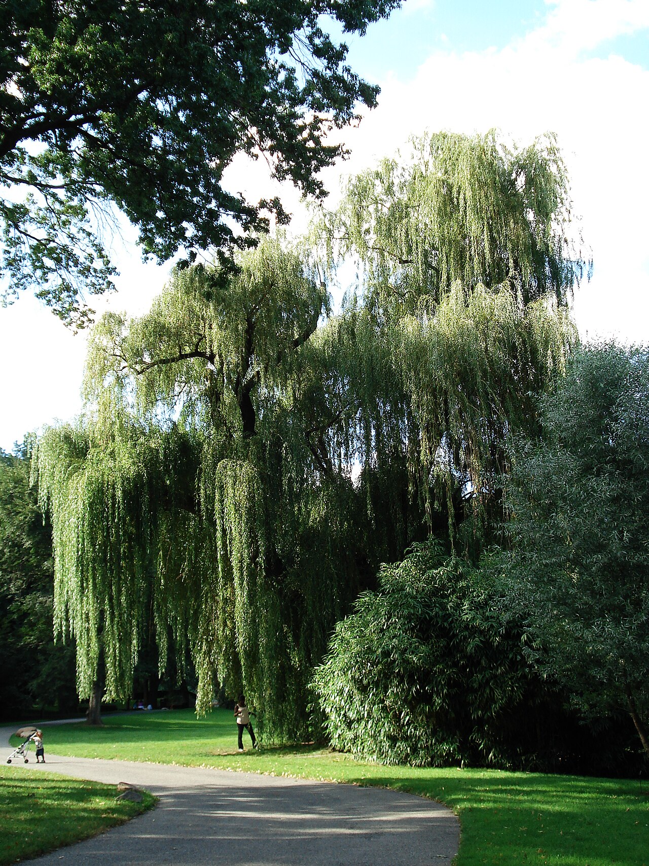 Weeping willowWeeping willow · 392 yd
 Lord ArdilaunMonument · 452 yd
 Bigleaf MapleBigleaf Maple · 1004 yd
 Battle of DublinMajor battlefield · 1057 yd
 Veronica GuerinHeritage attraction · 1097 yd
 CastleCastle, Anglo-Norman masonry castle · 1157 yd
Other information
Photo: National Inventory of Architectural Heritage · Website use allowed for educational or private purposes with source credit