What is recorded here
Situated in pasture on a gentle E-facing slope with extensive views from NE through E to SE. A poorly preserved subcircular enclosure (ext. diam. 10m NE-SW; 10.8m NW-SE; int. diam. 5.7m NE-SW; 6.2m NW-SE) defined by a broad, grass-covered, earth and stone bank, best preserved and narrowest at N (Wth 1.91m; int. H 0.22m; ext. H 0.22m) and built into the slope at W where it is level with the external ground. At E-SE the bank (Wth 3.25m; ext. H 0.26m) widens out and slopes very gradually into the interior. The interior is generally fairly level and grass-covered but very uneven. Visible on Google Earth (image taken on 7 March 2010; accessed 12 November 2014) and on OS ortho photography (accessed 12 November 2014).
CL065-126----_01.jpg attached, view from W.
Compiled by: Mary Tunney
Date of upload: 24 November 2014
The monument record does not grant public access. Check the route and ask the landowner before entering private land.
- What survives
- Recorded monument
Places near here
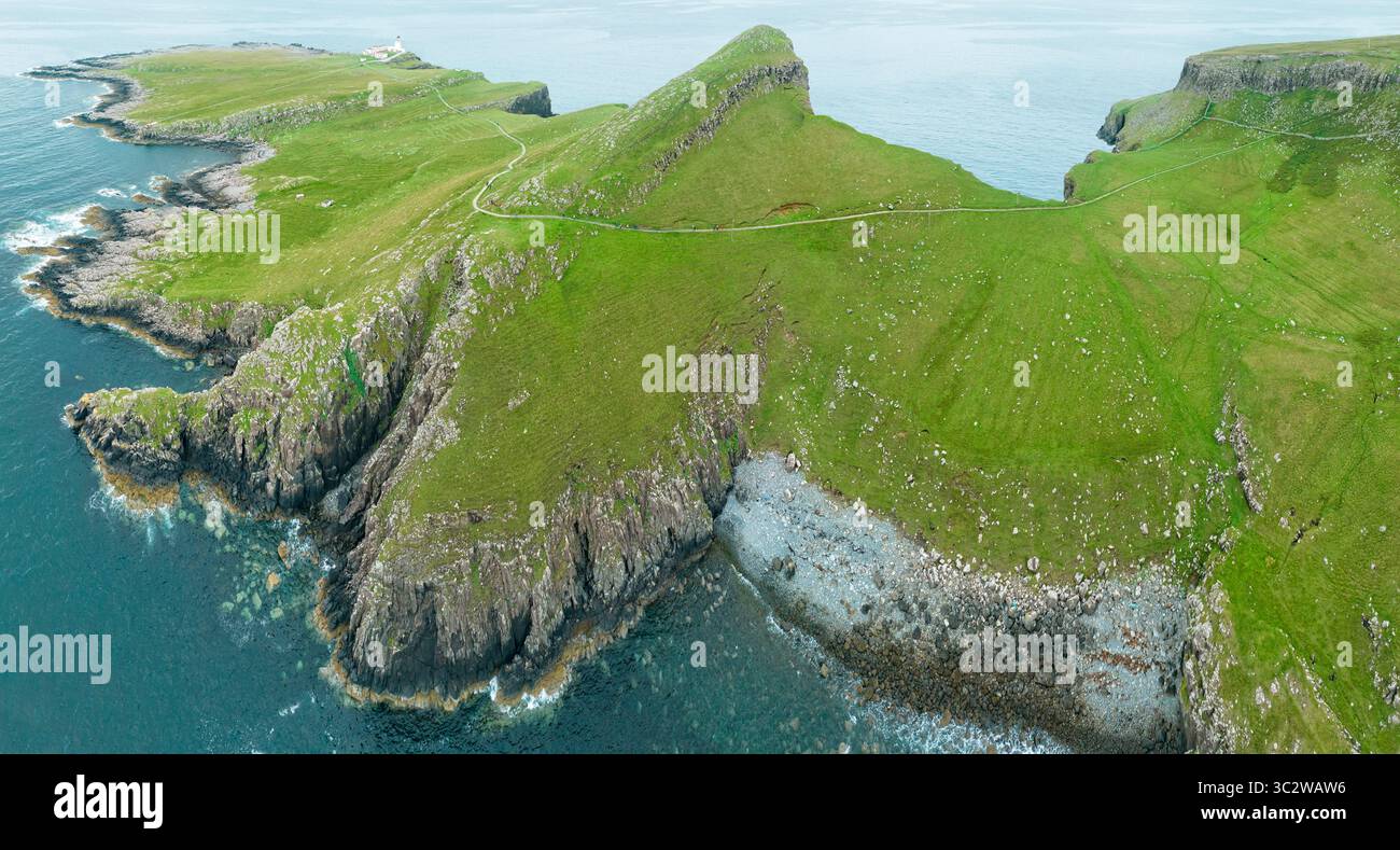 Promontory fortPromontory fort, coastal · 1174 yd
 Knocknagarhoon CastleRuins · 1353 yd
 Knocknagarhoon Signal TowerRuins · 1374 yd
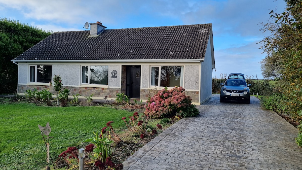 LisroeFairy fort / earthen ringfort · 1.2 mi
 Tullig PointHeadland · 1.8 mi
 IllaunonearaunIslet · 2.2 mi
 Religious houseReligious house, unclassified · 2.2 mi
 Ocean Rowers MemorialMemorial · 2.5 mi
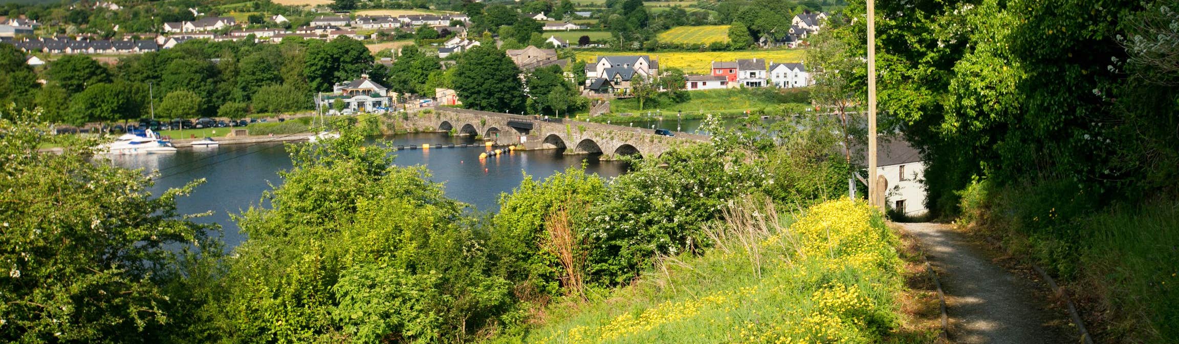 Doonlicka Castle (in Ruins)Castle, tower house · 2.8 mi
 Dunlicky PointViewpoint · 2.8 mi
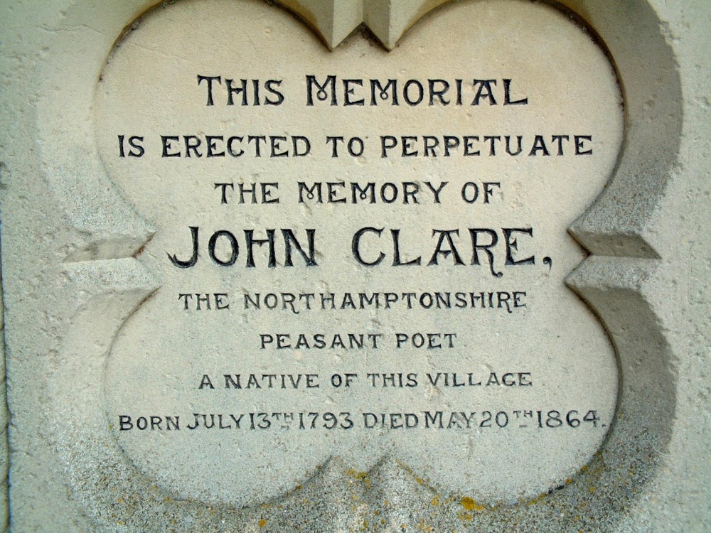 Memorial PlaqueMemorial · 2.8 mi
 Carrigaholt BayBay · 3.5 mi