What is recorded here
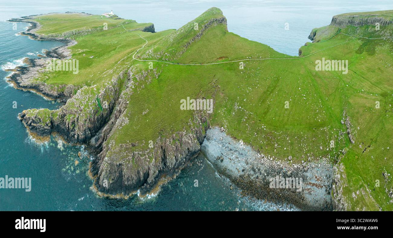
Thirteen kilometres northeast of Loop Head, a detached island holds a small triangular patch of grass where an earthen bank once followed the cliff edge. The rest of the island has surrendered to bog and poor grassland, while that narrow strip still resists forgetting. No path reaches it, and the sea keeps the fort from ordinary visitation. What remains is a shadow of defence, written in soil and visible only from above.
Situated c. 13km NE from Loop Head in an area of undulating poor quality grassland and bog. A small triangular area (c. 30m NE-SW x 23m NW-SE) is all grass cover that remains on a detached island (c. 200m x 80m). Traces of an earthen bank extending along the cliff-edge in this grassy area can be seen on aerial photographs and may be the remains of a promontory fort. The island is inaccessible. (Casey 1999, 217, Clare P10)
Compiled by: Mary Tunney
Date of upload: 21 September 2016
The monument record does not grant public access. Check the route and ask the landowner before entering private land.
- What survives
- Recorded monument
Places near here
 LisroeFairy fort / earthen ringfort · 1418 yd
 Tullig PointHeadland · 1.2 mi
 Knocknagarhoon CastleRuins · 1.4 mi
 Knocknagarhoon Signal TowerRuins · 1.4 mi
 DoondoillroePromontory fort, coastal · 1.4 mi
 Religious houseReligious house, unclassified · 2.0 mi
 IllaunonearaunIslet · 2.7 mi
 Cloghaunsavaun Castle (Site of)Castle, unclassified · 3.1 mi
 Ocean Rowers MemorialMemorial · 3.1 mi
 Dunlicky PointViewpoint · 3.4 mi
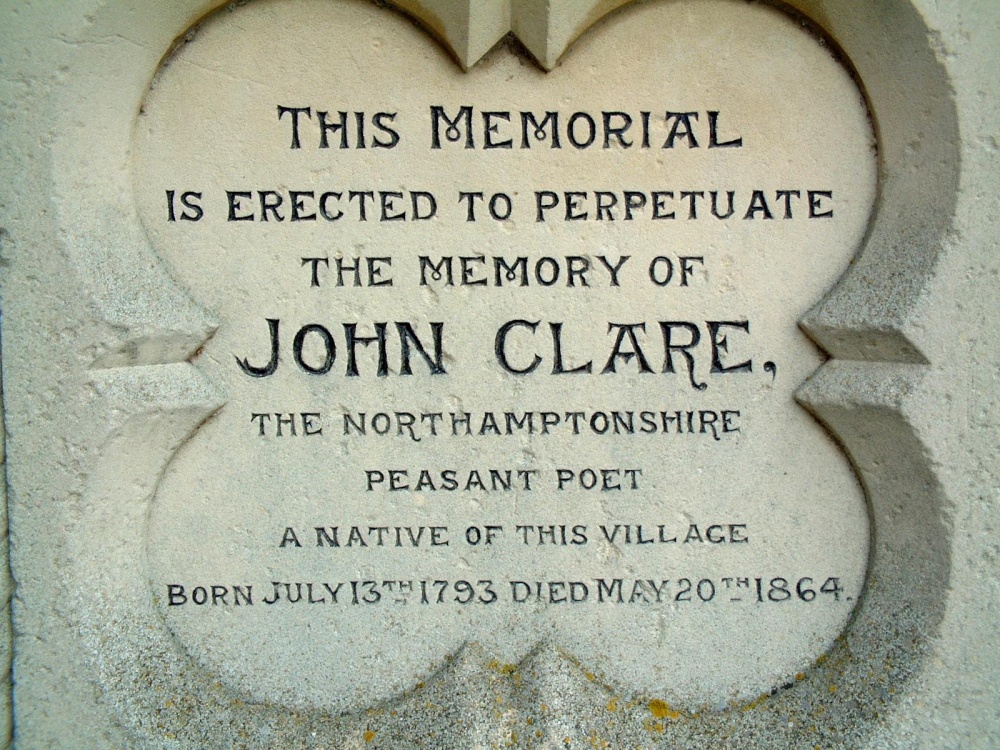 Memorial PlaqueMemorial · 3.4 mi
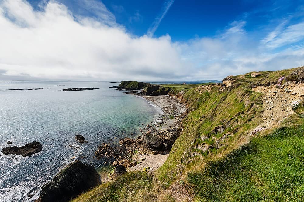 Rinevella PointHeadland · 3.7 mi
Other information
Photo: Credit not shown in the picture search · Rights wording not checked; contact us if this picture should be removed