What is recorded here
At Toberawnaun rath (SL013-037----). From WSW-W-NNW the perimeter and a small portion of the interior have been levelled as a consequence of the construction of a modern NNW-SSE field boundary. A short distance inside the field boundary at WNW is a slightly raised, rectangular house platform (dims. 5.3m NNE-SSW; c.4m WNW-ESE). Its ESE side and part of its SSW side (L c.3.7m) are defined by a low bank of earth and stone (Wth. 1.3m; H 0.3m).
Compiled by: Geraldine Stout
Date of upload: 27 March 2013
The monument record does not grant public access. Check the route and ask the landowner before entering private land.
- What survives
- Recorded monument
Places near here
 Enclosure in ToberawnaunEnclosure · 359 yd
 IndicatedFairy fort / earthen ringfort · 364 yd
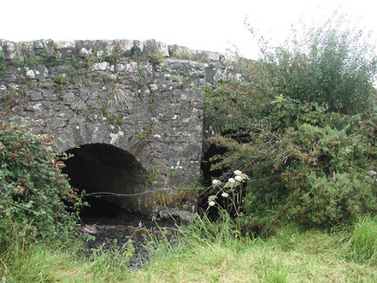 Ardnaglass Bridgebridge · 769 yd
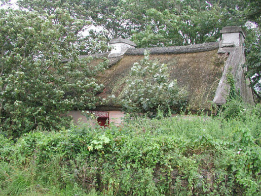 P. Breheneyhouse · 843 yd
 Dunmoran StrandBeach / strand · 895 yd
 CastleCastle, Anglo-Norman masonry castle · 1659 yd
 Aughris BeachBeach / strand · 1.2 mi
 Aughris HeadHeadland · 2.2 mi
 Bawn in CarrowbrickeenBawn · 2.7 mi
 Derkmore PointHeadland · 3.1 mi
 Giant's GraveArchaeological place · 3.7 mi
 Valley WoodForest · 3.8 mi