What is recorded here
Located on a S-facing slope c. 25m N of an E-W section of the Owenmore River at the W end of the Glenfarne valley. There is a rectangular house site (int. dims 10.5m x 4.9m) defined by a grass-covered wall foundation (Wth 1.3m; max. H 0.45m) in the interior of rath (LE008-015001-) against the bank at NW.
Compiled by: Michael Moore
Date of upload: 29 January, 2016
The monument record does not grant public access. Check the route and ask the landowner before entering private land.
- What survives
- Recorded monument
Places near here
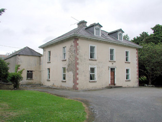 Brookfield Housefarm house · 827 yd
 CashelaveelaFairy fort / earthen ringfort · 1112 yd
 IndicatedFairy fort / earthen ringfort · 1250 yd
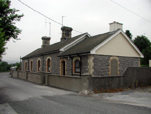 Manorhamilton Railway Stationrailway station · 1447 yd
 The Giants GraveArchaeological place · 2.0 mi
 Giants RockNamed rock · 2.2 mi
 Kilroosk RockNamed rock · 2.5 mi
 Dough MountainMountain / peak · 2.7 mi
 Saddle HillMountain / peak · 3.0 mi
 Ashisland WoodForest · 3.3 mi
 Longhill WoodForest · 3.6 mi
 Castle CarCastle · 4.3 mi