What is recorded here
Within the interior of a cashel (GA104-269----), just to the E of the Daly Monument, which occupies much of the NE quadrant. An L-shaped grassed-over stony wall (Wth 1.15m; ext. H 0.3-0.4m) indicates the line of possible rectangular house site (L 5.6m; Wth 4.5m) orientated NW-SE.
Compiled by: Olive Alcock
Date of upload: 12 April 2018
The monument record does not grant public access. Check the route and ask the landowner before entering private land.
- What survives
- Recorded monument
Places near here
 Dermot & Grania's BedArchaeological place · 619 yd
 CaveMan-made underground passage · 1019 yd
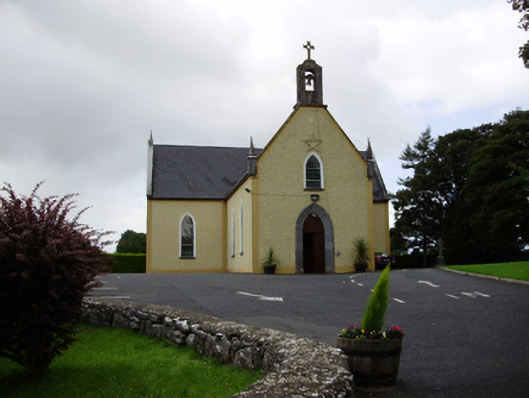 Saint Killian's Catholic Churchchurch/chapel · 1.0 mi
 Ballymanagh Ho.House, 18th/19th century · 1.0 mi
 CarnanthomasCastle, unclassified · 1.1 mi
 Cregg Castle (in ruins)Castle, tower house · 1.4 mi
 Moyard WoodWood · 4.1 mi
 Blake's IslandIslet · 4.2 mi
 Ash IslandIslet · 4.6 mi
 Kilcornan ForestWood · 7.3 mi
 Drumacoo Monastic SiteHeritage attraction · 8.9 mi
 KnocknarebanaMountain / peak · 9.4 mi