What is recorded here
On a hill overlooking Portrunny Bay (dims c. 1 km NW-SE; c.400-600m NE-SW), an inlet of Lough Ree, c. 170m to the E. The W end of the N wall of the church (RO042-044001-) is truncated by the remaining fragment of the N wall of a building (int. dim at least 7.55m E-W) which had been vaulted over the ground floor, but only a length of the N wall survives. Archaeological testing (97E0187) 50-150m to the W (Murphy 1998) revealed no archaeological features.
Compiled by: Michael Moore
Date of upload: 24 August 2010
The monument record does not grant public access. Check the route and ask the landowner before entering private land.
- What survives
- Recorded monument
Places near here
 IndicatedHoly well · 129 yd
 Cruit BayBay · 672 yd
 Galey BayBay · 1563 yd
 Galey CastleCastle, tower house · 1653 yd
 Embanked enclosureFairy fort / earthen ringfort · 1759 yd
 Sedgy IslandIslet · 1.1 mi
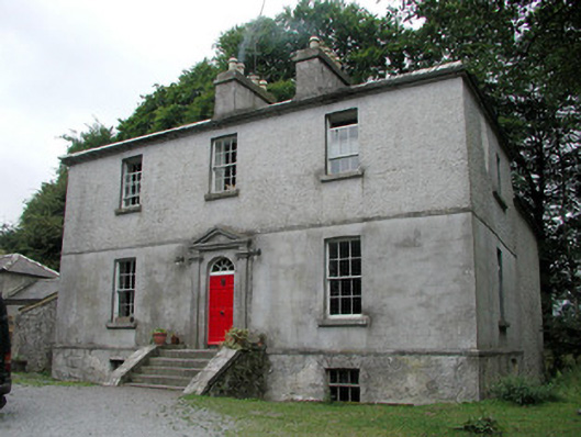 Killinvoy Houserectory/glebe/vicarage/curate's house · 1.4 mi
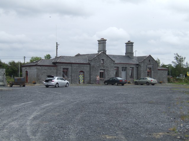 Knockcroghery Railway Stationrailway station · 1.6 mi
 Hangman's HillMountain / peak · 1.6 mi
 Dogs IslandIslet · 1.8 mi
 Ballymurray ForestForest · 3.1 mi
 Lower WoodForest · 3.2 mi