What is recorded here
In N sector of a hilltop enclosure (GA043-033006-) and immediately ESE of a cairn (GA043-033001-). Poorly preserved subcircular cashel (NE-SW c. 37m) defined by a collapsed drystone wall, overlain from SE through W to NE by a later field wall. Within the interior are two possible house foundations: (a - GA043-033003-) to N of centre, a rectangular area of collapsed stone (E-W; L 10m, Wth 7m); (b - GA043-033004-) in SE quadrant, an L-shaped line of grassed-over stone. (Byrne and Gosling 1988, 138-40; CUCAP ATF 21; ASGAP 384:40; 385:6)
The above description is derived from the published 'Archaeological Inventory of County Galway Vol. II - North Galway'. Compiled by Olive Alcock, Kathy de hÓra and Paul Gosling (Dublin: Stationery Office, 1999).
Date of upload: 13 December 2017
The monument record does not grant public access. Check the route and ask the landowner before entering private land.
- What survives
- Recorded monument
Places near here
 Hillfort in Carrowntemple (clare By.),knockacarrigeen,pollaturk OR NewgardenHillfort · 36 yd
 LisheenacarnaFairy fort / earthen ringfort · 182 yd
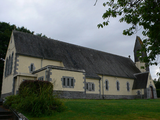 Catholic Church of the Sacred Heartchurch/chapel · 660 yd
 Cashlaun Feecul in ruinsCastle, unclassified · 1422 yd
 Castle Hacketdemesne walls/gates/railings · 1.0 mi
 KnockmaaWood · 1.2 mi
 Castle Hacket (in ruins)Castle, hall-house · 1.3 mi
 Mass RockNamed rock · 2.8 mi
 European ashEuropean ash · 4.1 mi
 Kilcoona Round TowerHeritage attraction · 4.9 mi
 Walsh's IslandIslet · 8.6 mi
 Oileán an AoilIsland · 9.3 mi