
What is recorded here
Half-hidden under bracken and time, the hillfort at Knockacarrigeen still holds its shape: a broad oval rim of scarped rock and fallen wall, large enough to swallow a village or a memory. It is the kind of place where people may have clustered when storms came, when disputes flared, or when the land itself felt uncertain. The modern walls cutting through it suggest that the hill never stopped being used, only changed the rules of its occupation.
Encircling the summit of Knockacarrigeen, a prominent hill to ENE of Knockmaa (see GA042-064002-). Discovered during aerial reconnaissance in December 1987 (ASGAP 384:40; 385:6), it consists of the poorly preserved remains of a large partially overgrown subcircular enclosure (NE-SW 165m, NW-SE c. 130m). It is defined by a rock scarp (H 2m max.) from NW through N to NE and elsewhere by the remains of a collapsed stone wall. This is best preserved from SSE through S to SW (Wth 6m, H 0.7m ext.) but is difficult to trace from NE to SSE due to poor preservation and overgrowth. The interior is cut by five modern walls, all but one of them radiating from a ringfort (GA043-033002-) in N sector. There is also a cairn (GA043-033001-) on the hill summit in NW quadrant, and the foundations of rectangular house (NE-SW; L 12.5m, Wth 5m) in SW quadrant. An enclosure (GA043-107----) is also associated. (Byrne and Gosling 1988, 138-141)
The above description is derived from the published 'Archaeological Inventory of County Galway Vol. II - North Galway'. Compiled by Olive Alcock, Kathy de hÓra and Paul Gosling (Dublin: Stationery Office, 1999).
Date of upload: 05 August 2010
The monument record does not grant public access. Check the route and ask the landowner before entering private land.
- What survives
- Recorded monument
Places near here
 LisheenacarnaFairy fort / earthen ringfort · 217 yd
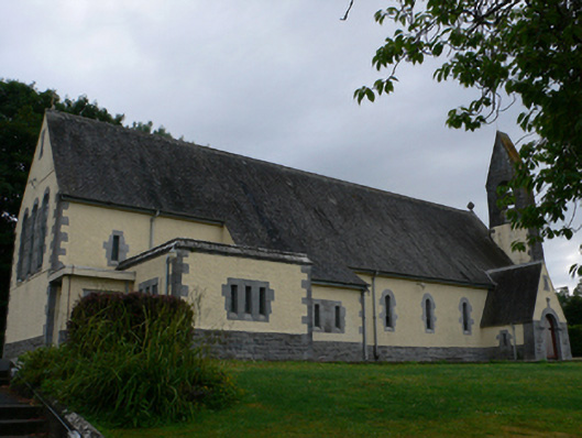 Catholic Church of the Sacred Heartchurch/chapel · 693 yd
 Cashlaun Feecul in ruinsCastle, unclassified · 1426 yd
 Castle Hacketdemesne walls/gates/railings · 1.1 mi
 Cross in Caltragh (killower Ed)Cross · 1.1 mi
 KnockmaaWood · 1.2 mi
 Castle Hacket (in ruins)Castle, hall-house · 1.3 mi
 Mass RockNamed rock · 2.8 mi
 European ashEuropean ash · 4.1 mi
 Kilcoona Round TowerHeritage attraction · 4.9 mi
 Walsh's IslandIslet · 8.6 mi
 Oileán an AoilIsland · 9.2 mi
Other information
Photo: Credit not shown in the picture search · Rights wording not checked; contact us if this picture should be removed