What is recorded here
Located in the W half of a rath (MA003-009----). This possible house consist of a sub-rectangular area (5.8m x 5.9m) defined by a low sod-covered bank, largely eroded on the E side, and with a gap (Wth 0.7m) on the W side. (Pers. comm. Michael Gibbons, 27th October 2015).
Compiled by: Jane O'Shaughnessy
Date of upload: 29 October 2015
The monument record does not grant public access. Check the route and ask the landowner before entering private land.
- What survives
- Recorded monument
Places near here
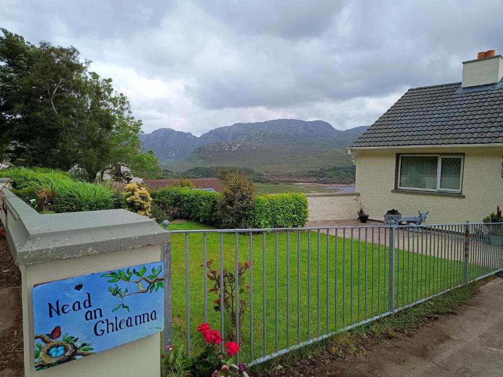 Rinn an GhleannaHeadland · 1294 yd
 Site of CastleCastle, unclassified · 1.8 mi
 An Bhinn BhuíMountain / peak · 2.0 mi
 O Galligans ChurchChurch · 2.1 mi
 Portacloy Signal TowerRuins · 2.8 mi
 An DúnaHeadland · 3.3 mi
 Glengad BeachBeach / strand · 3.5 mi
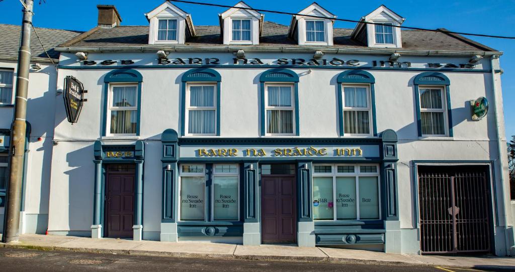 Barr na CoilleadhMountain / peak · 4.1 mi
 Enclosure in Ros DumhachEnclosure · 4.2 mi
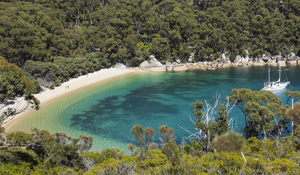 Promontory fortPromontory fort, coastal · 4.9 mi
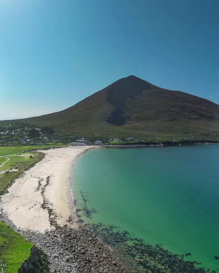 Portnacully BeachBeach / strand · 4.9 mi
 Cuan an InbhirBay · 3.5 mi