What is recorded here
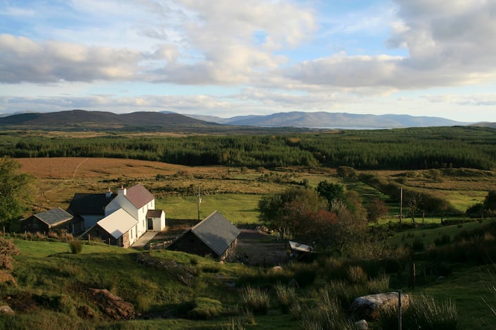
Univallate rath KE034-016---- situated on the lower, S facing slopes of Beenmore, overlooking the level, marshy plain drained by the Feohanagh river and its tributaries.
What appears to be the gable end of a rectangular house (KE034-016001-) has been set back into the inner face of the bank at N. It is 3.4m wide and 2m high; the adjoining side wall to W is represented by only low foundations, c. 14.4m long, 1.15m wide and .5m high.
The above description is derived from J. Cuppage, ‘Corca Dhuibhne. Dingle Peninsula archaeological survey. Ballyferriter. Oidhreacht Chorca Dhuibhne’ (1986), no. 455. In certain instances the entries have been revised and updated in the light of recent research.
Date of upload: 7 August 2013
The monument record does not grant public access. Check the route and ask the landowner before entering private land.
- What survives
- Recorded monument
Places near here
 Moorestown CastleCastle · 1312 yd
 Man-made underground passage in Baile Uí ChorráinMan-made underground passage · 1451 yd
 Hut site in Currach GráigeHut site · 1549 yd
 Brandon CreekViewpoint · 1.0 mi
 Cúinne an MhionnáinHeadland · 1.1 mi
 Ballydavid Signal TowerRuins · 1.2 mi
 Ceann Bhaile DháithMountain / peak · 1.2 mi
 Church in Cill ChúileChurch · 2.2 mi
 Binn na mBanMountain / peak · 2.7 mi
 Cuan Ard na CaithneBay · 3.2 mi
 Tower (in ruins)Castle, unclassified · 3.6 mi
 Gallarus OratoryHeritage attraction · 4.0 mi