What is recorded here
Located within the Connemara National Park on the N slope of Mweelin, in an area of rough grazing and overlooking the Kylemore lakes to the NE. Rock outcrop is visible immediately to the NE and SE. This possible house site (int. dims. 7m E-W; 4.1m N-S), rectangular in plan, is defined by a bank of earth and stone (Wth 0.8m; int. H 0.2m; ext. H 0.4m). A possible gap (Wth 0.85m) is evident in S side. A hawthorn tree is growing on it at N. A megalithic tomb (GA023-024----) lies c. 75m to the SSW and a holy well (GA023-023001-) and graveyard (GA023-023002-) c. 127m and c. 170m to the SSE.
The following image has been uploaded: GA023-052----_01.jpg
Compiled by: Olive Alcock with information supplied by Helen Riekstiņš
Updated by: Olive Alcock
Date of revised upload: 6 February 2019
The monument record does not grant public access. Check the route and ask the landowner before entering private land.
- What survives
- Recorded monument
Places near here
 Tober MweelinHoly well · 150 yd
 Kylemore Abbeydemesne walls/gates/railings · 1057 yd
 Monterey PineMonterey Pine · 1150 yd
 Ice Ho.Icehouse · 1205 yd
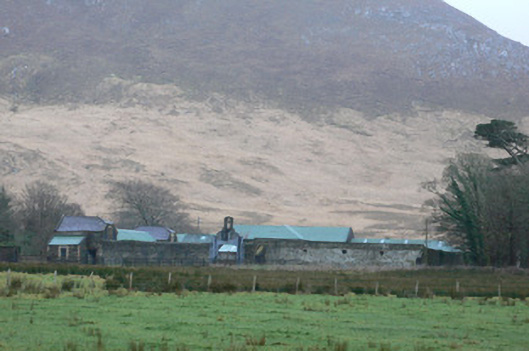 Kylemore Farm Housefarmyard complex · 1338 yd
 BenbaunMountain / peak · 1446 yd
 Cnoc BreacMountain / peak · 1615 yd
 Cabbage treeCabbage tree · 1.4 mi
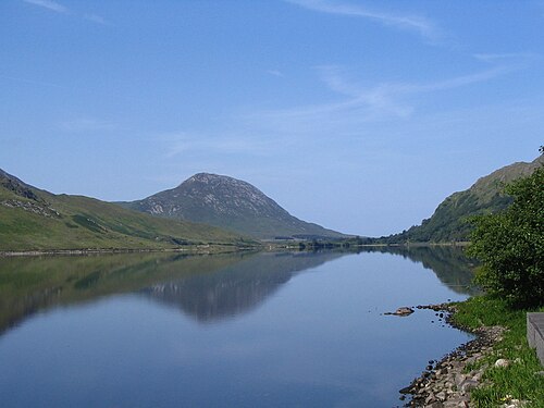 Binn GhuaireMountain / peak · 1.6 mi
 Connemara National ParkNational park · 2.7 mi
 Lettergesh BeachBeach / strand · 3.7 mi
 Glassilaun BeachBeach / strand · 4.1 mi