What is recorded here
Within the SW quadrant of a rath (GA113-064----). This possible rectangular house site (11.9m E-W; 6.3m N-S) is defined by collapsed walling (Wth 0.8m; H 0.2m) along the W, E and N sides. The S wall foundations are very indistinct. It lies c. 1.5m to the S of a Man-made underground passage (GA113-064001-) and a 19th-century burial vault.
Compiled by: Galway Archaeological Survey, UCG
Date of upload: 15 February 2018
The monument record does not grant public access. Check the route and ask the landowner before entering private land.
- What survives
- Recorded monument
Places near here
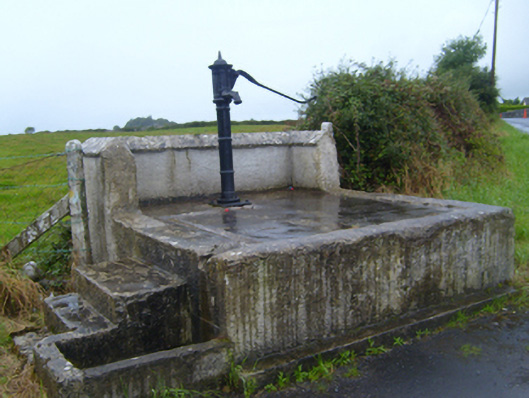 water pumpwater pump · 1436 yd
 Man-made underground passage in Ballyglass West (dunkellin By.)Man-made underground passage · 1.1 mi
 Ballymaquiff CastleCastle · 1.1 mi
 HawthornHawthorn · 1.2 mi
 Lackmacmahon Stone CrossCross · 1.2 mi
 European ashEuropean ash · 1.2 mi
 Maryville Househouse · 1.3 mi
 Drumharsna Castle (in ruins)Castle, tower house · 1.7 mi
 Drumharsna CastleHeritage attraction · 1.7 mi
 Mulroney's IslandIslet · 5.3 mi
 Kilmacduagh Monastic SiteVisitor information · 5.4 mi
 Kilmacduagh MonasteryHeritage attraction · 5.4 mi